Day 82: Detour
December 31, 2019
Kilometers: 1967.5-1981.9
John Tait Hut to West Sabine Hut
Today is the last day of 2019. A year ago today I did not think I would be ending 2019 in the middle of a huge mountain range on New Zealand’s South Island. New Year’s Eve will happen in a backcountry hut, no cell phone service, no champaign, very far from your typical celebration.
I definitely won’t miss the sadistic ritual of getting dressed up, paying a bunch of money, going to a super overcrowded venue and not even being able to find your friends as the ball drops. I won’t even be awake when the year turns to 2020.
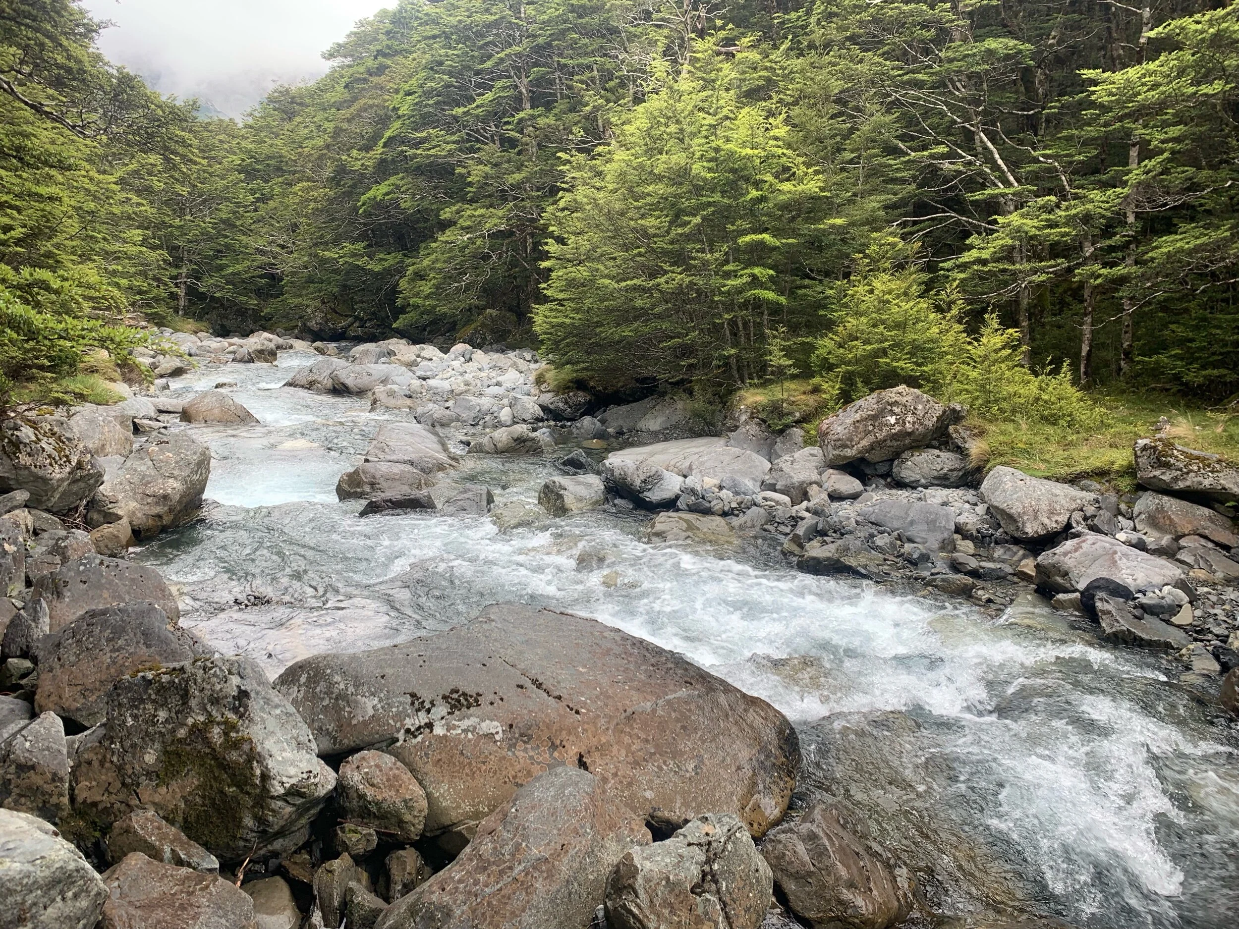
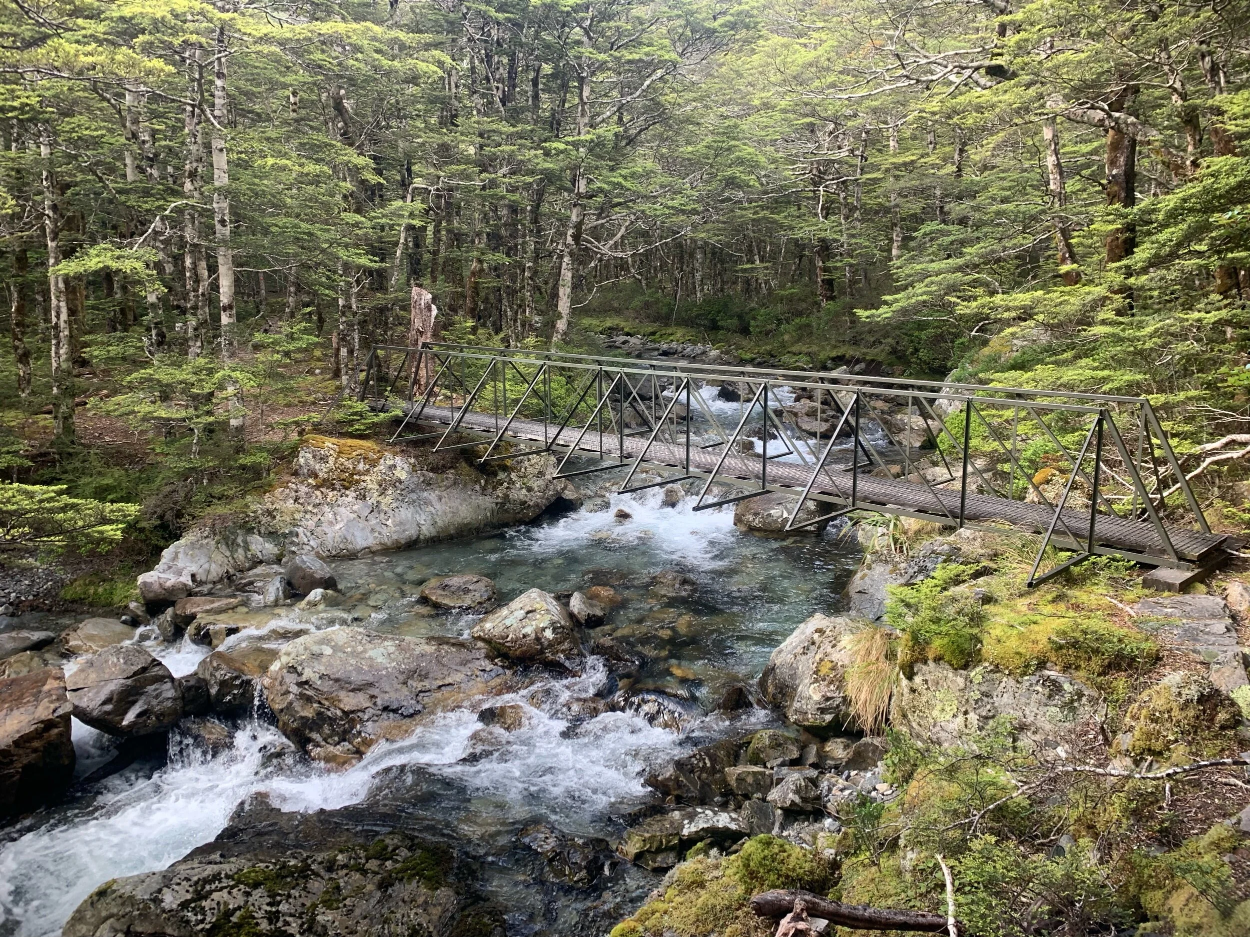
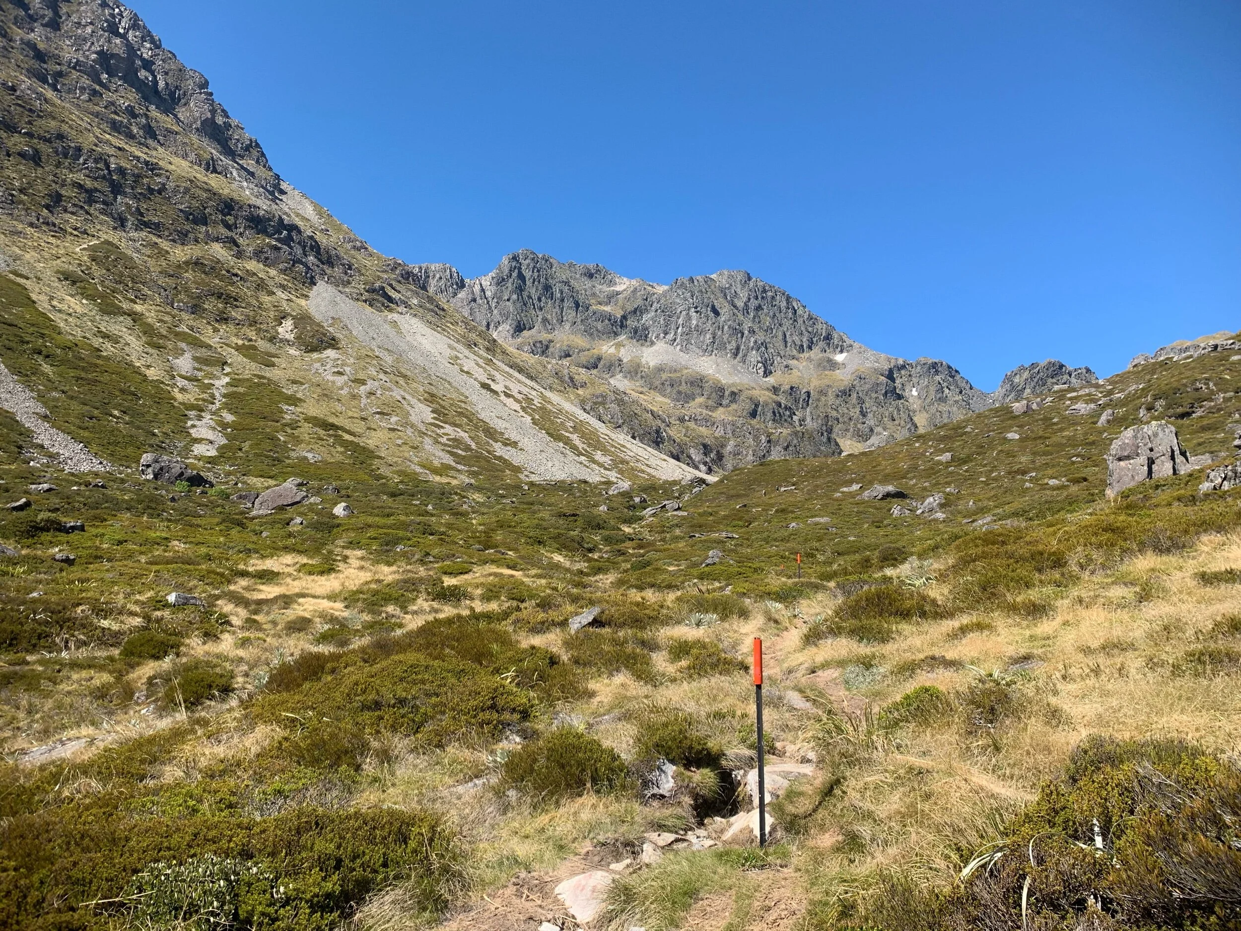
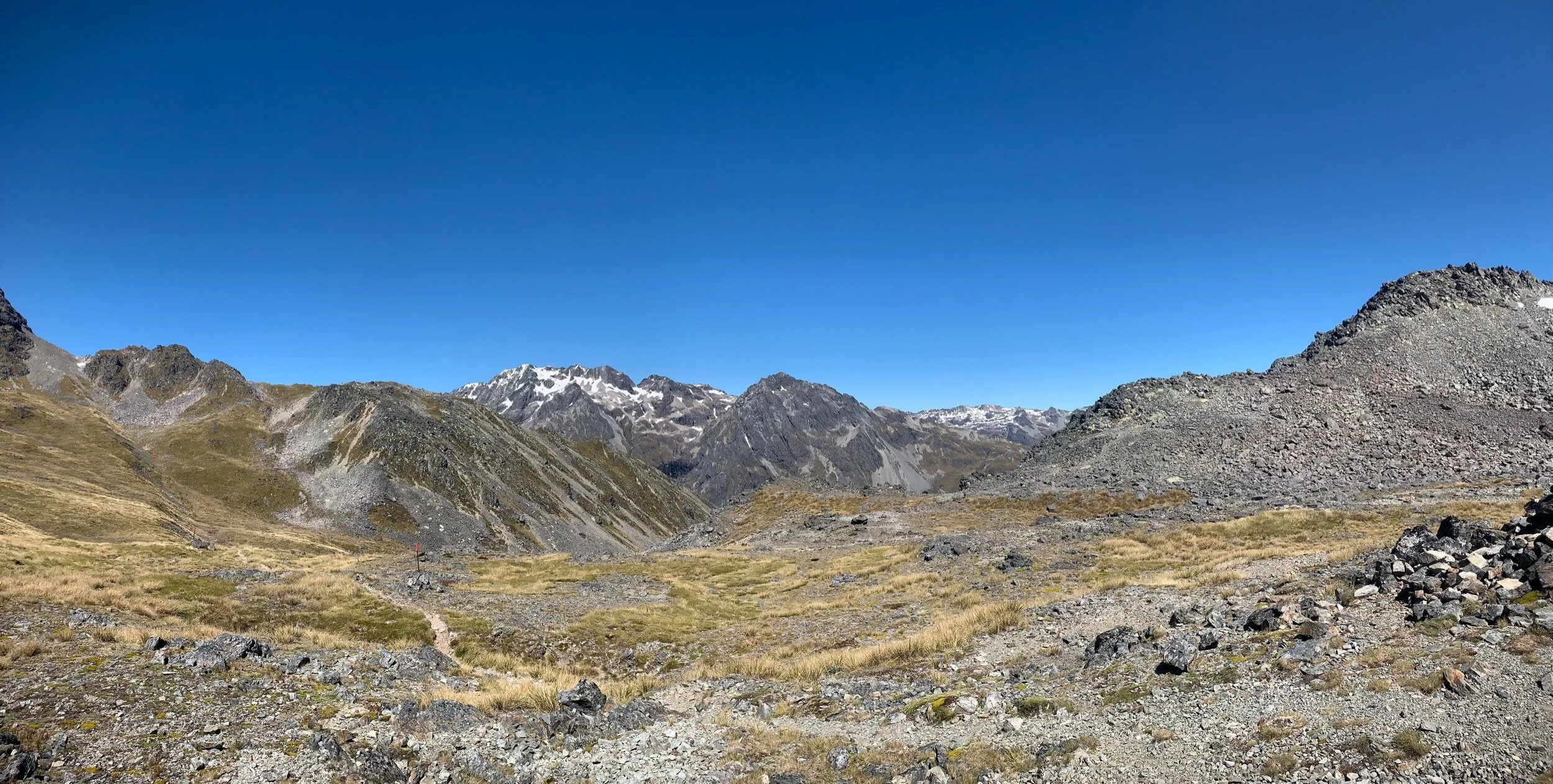
We spent the last day of the decade climbing Travers saddle. We woke up at 7 and I left a bit before the others at 7:40. The first six kms to Upper Travers Hut were along the river valley, climbing just over 500 meters. The incline was minimal and it only took a hundred minutes. The route had some beautiful waterfalls, streams and views of the mountains at the end.
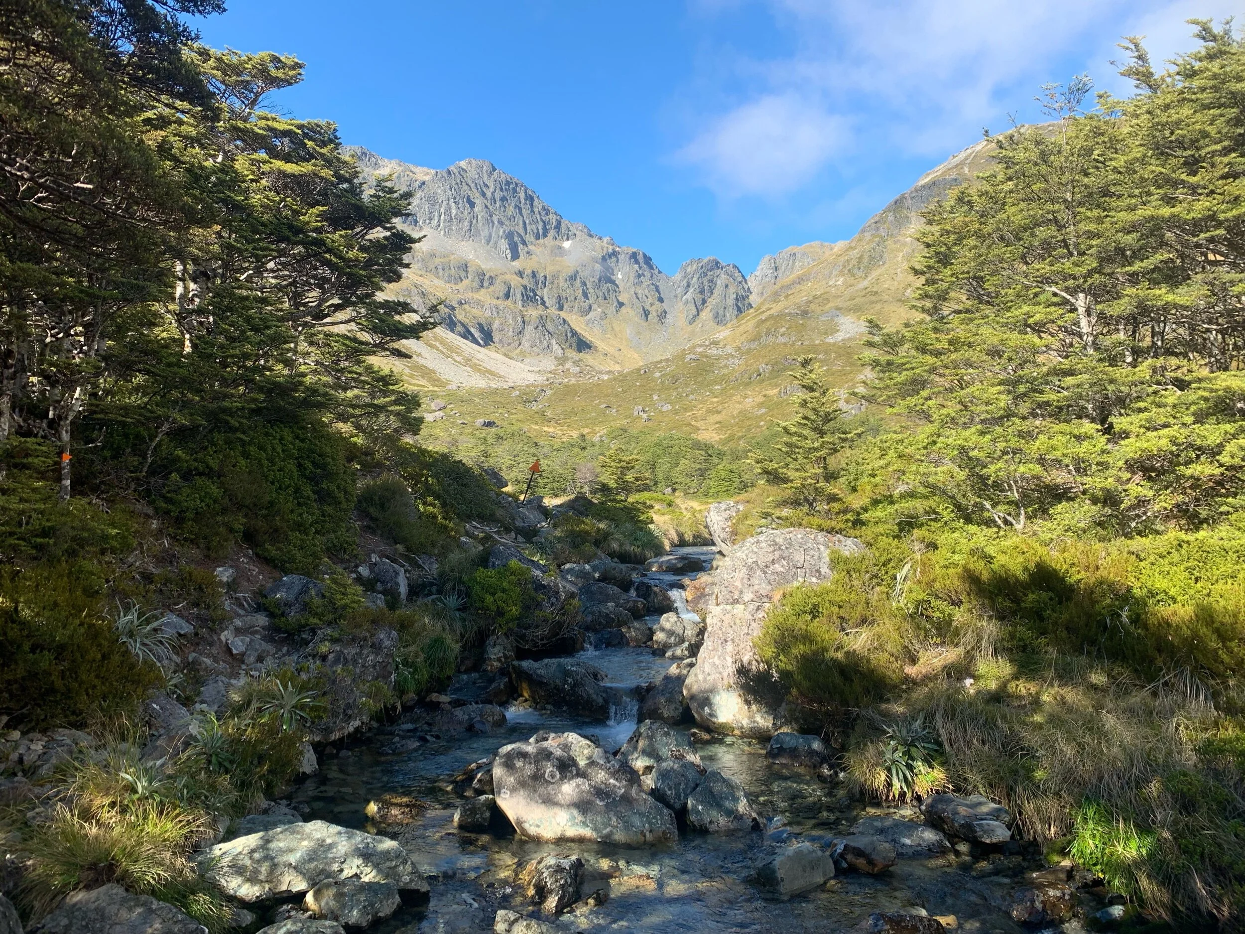
The last few hundred meters to the hut were through grassland that was at the bottom of a bowl surrounded by mountains with snow covered peaks.
I got to the hut and ate a snack while waiting for the others to arrive. They took some extra time waiting for Megan who was struggling a bit. My break ended up being almost an hour before I set off for the saddle.
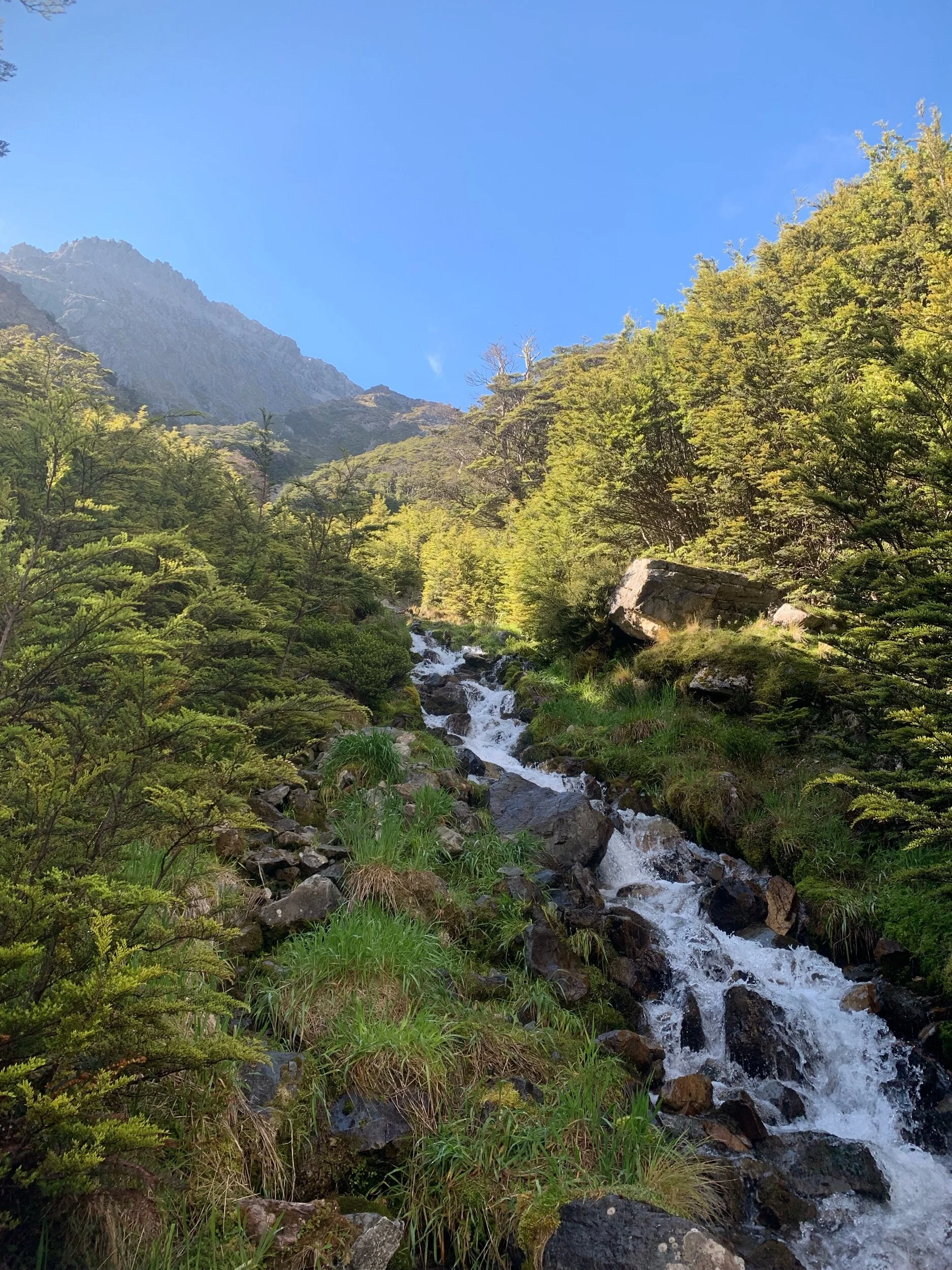
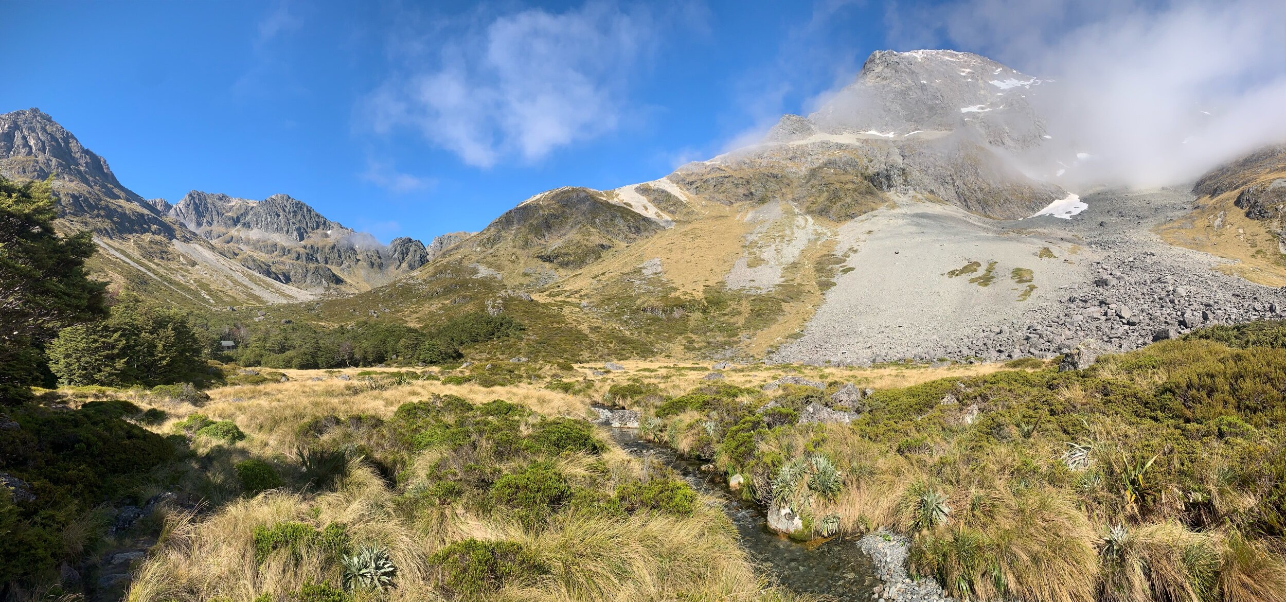
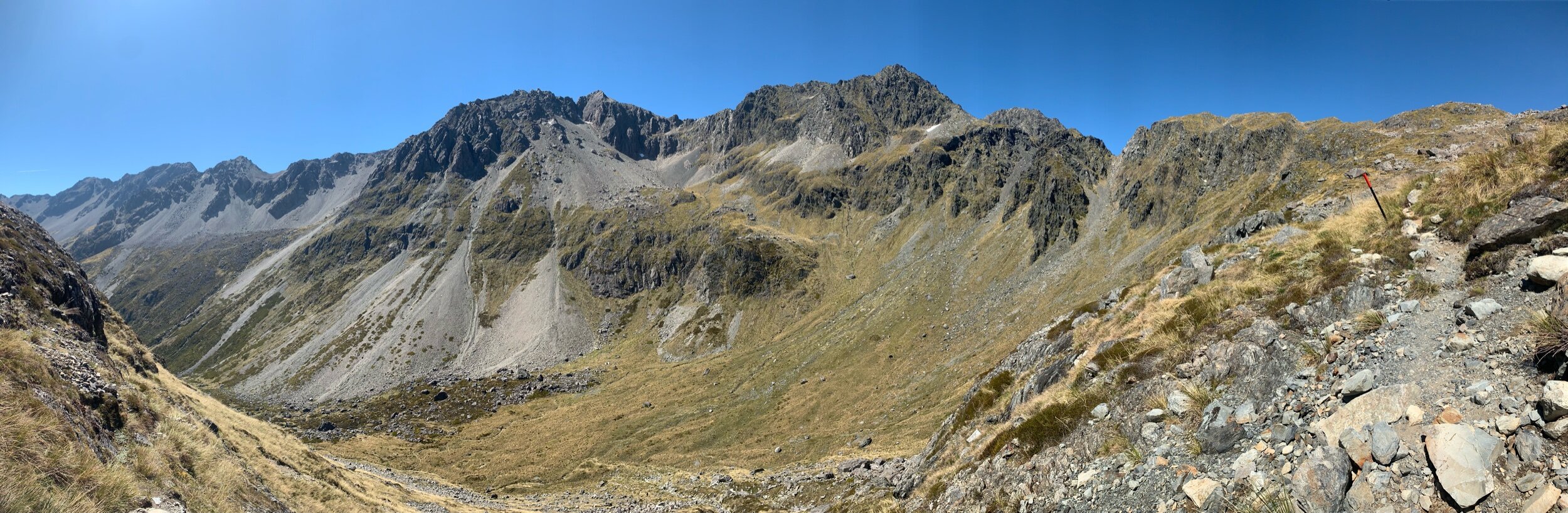
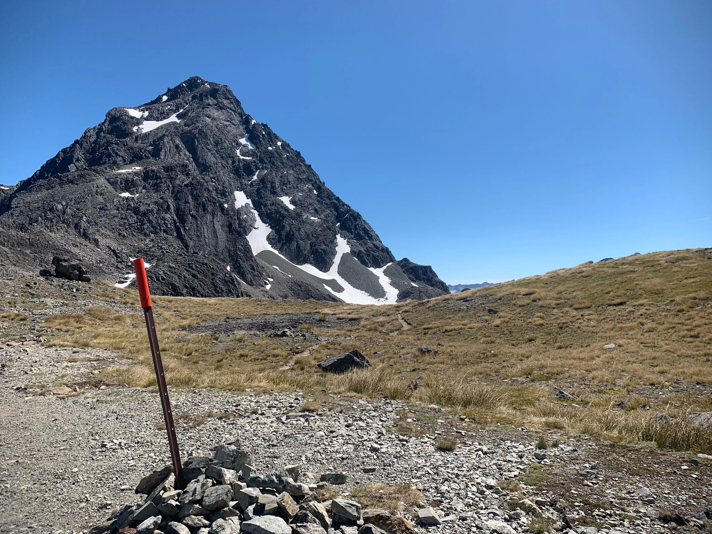
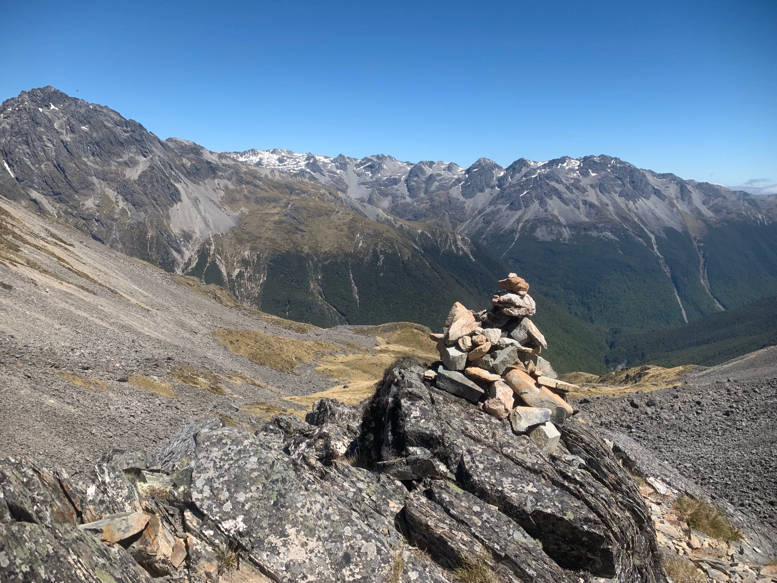
The saddle was only 2.2kms from the hut but had a 450m climb. There was some very vertical climbs and the sun was hot but it didn’t take too long. After a few false summits I arrived at the saddle, which had amazing views.
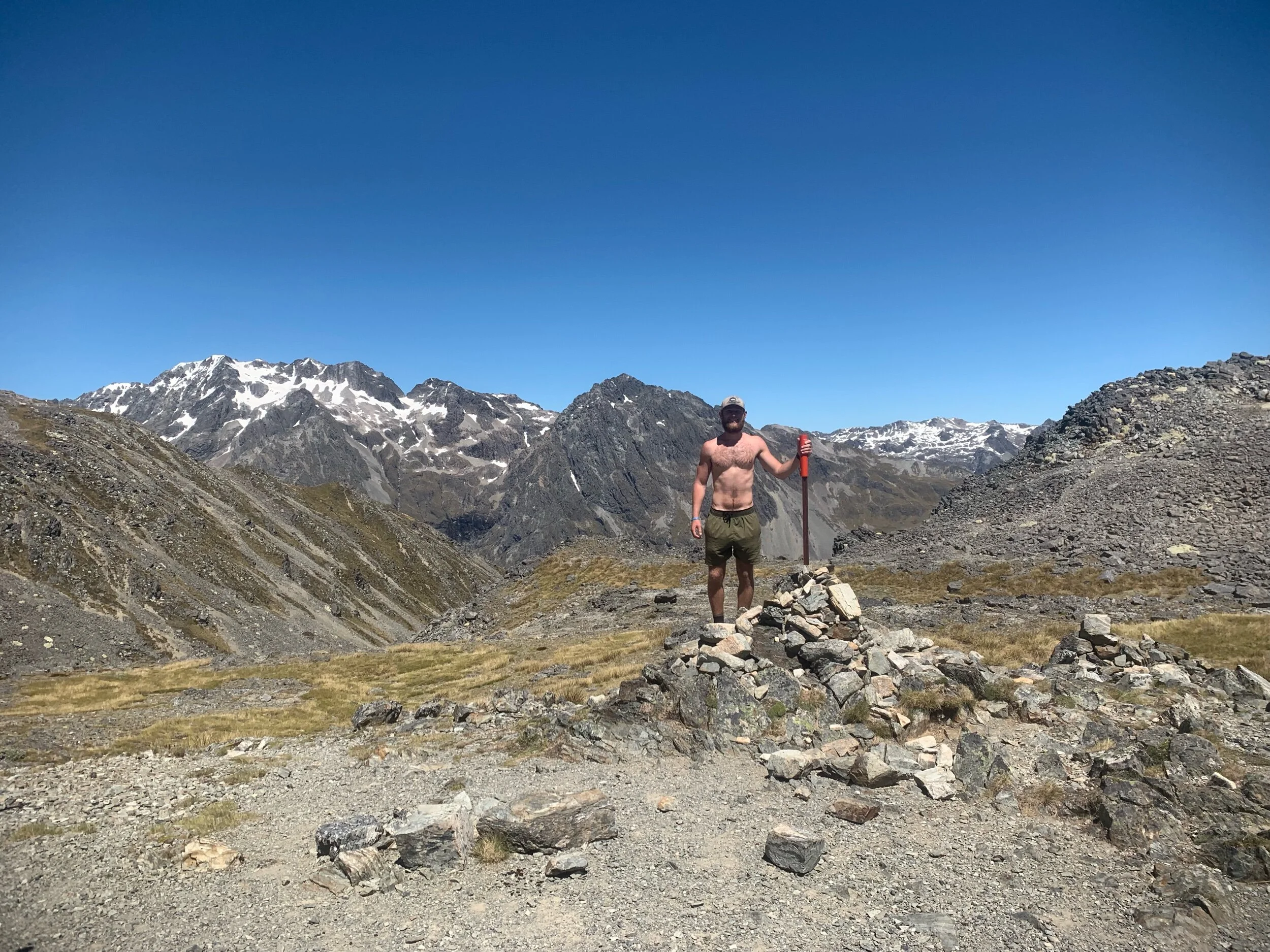
We took another break at the saddle and had another snack. Megan asked how much longer until the day was over, Charlie cleverly replied “At our pace or at your pace?” I think she has definitely grown an appreciation for what we’ve done the last 82 days after hiking with us for the last two.
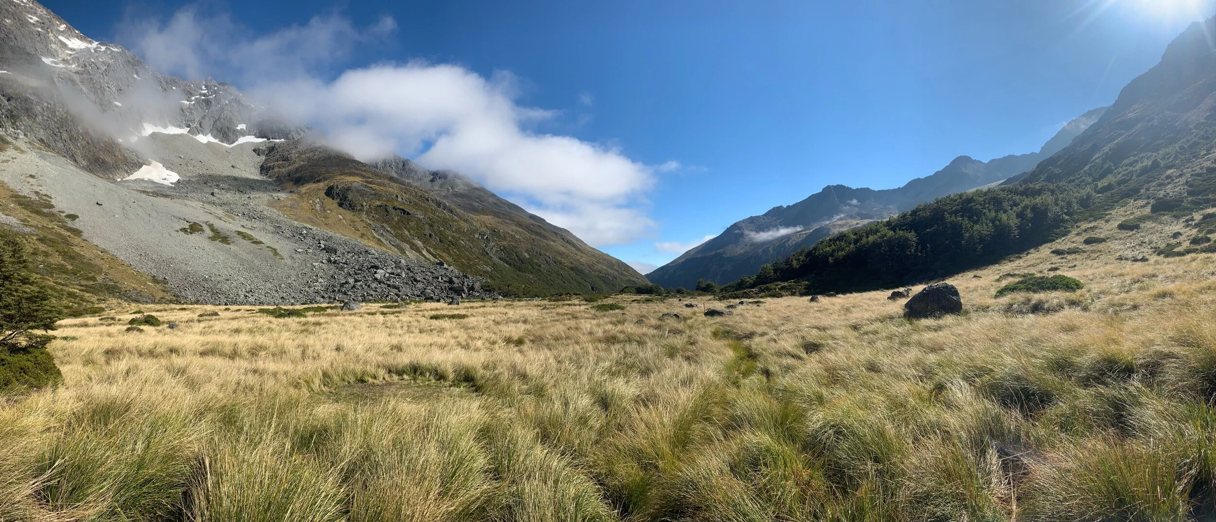
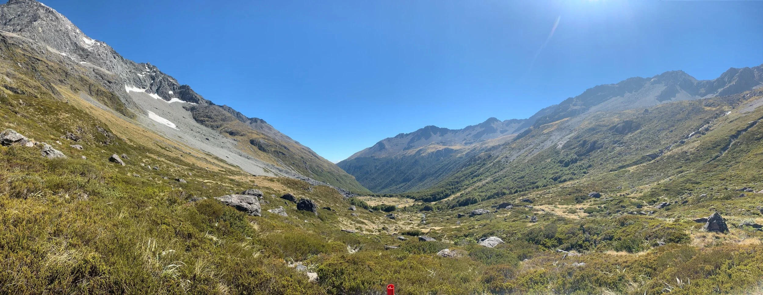
From the saddle to the hut was only 6kms all downhill. This should have been an easy finish to the day. It started great with more great views of Nelson Lake National Park.
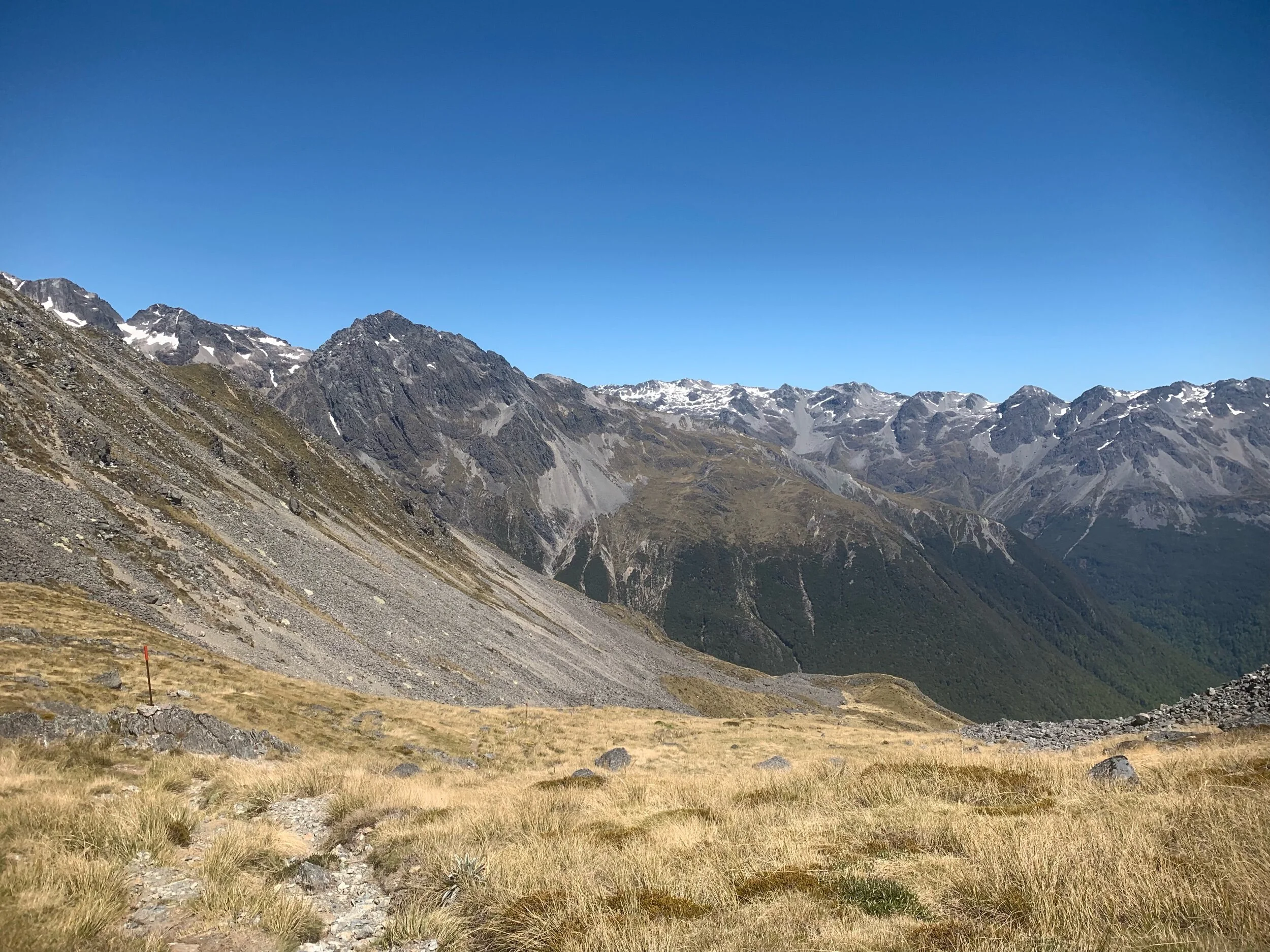
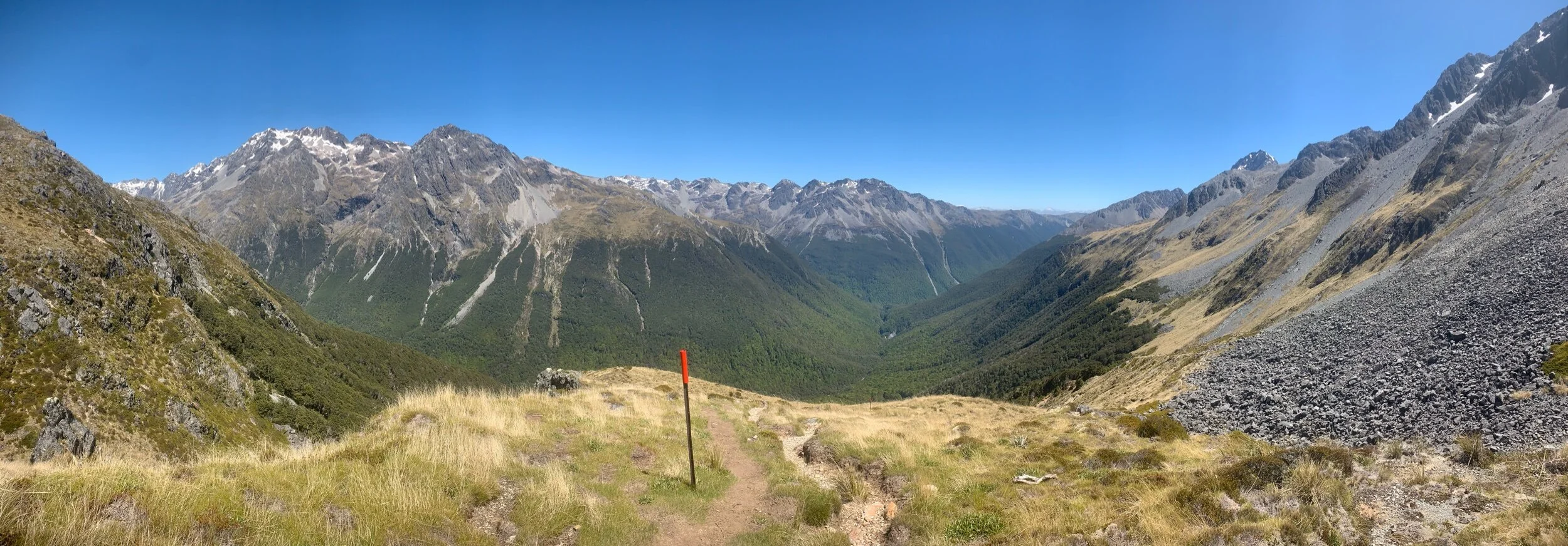
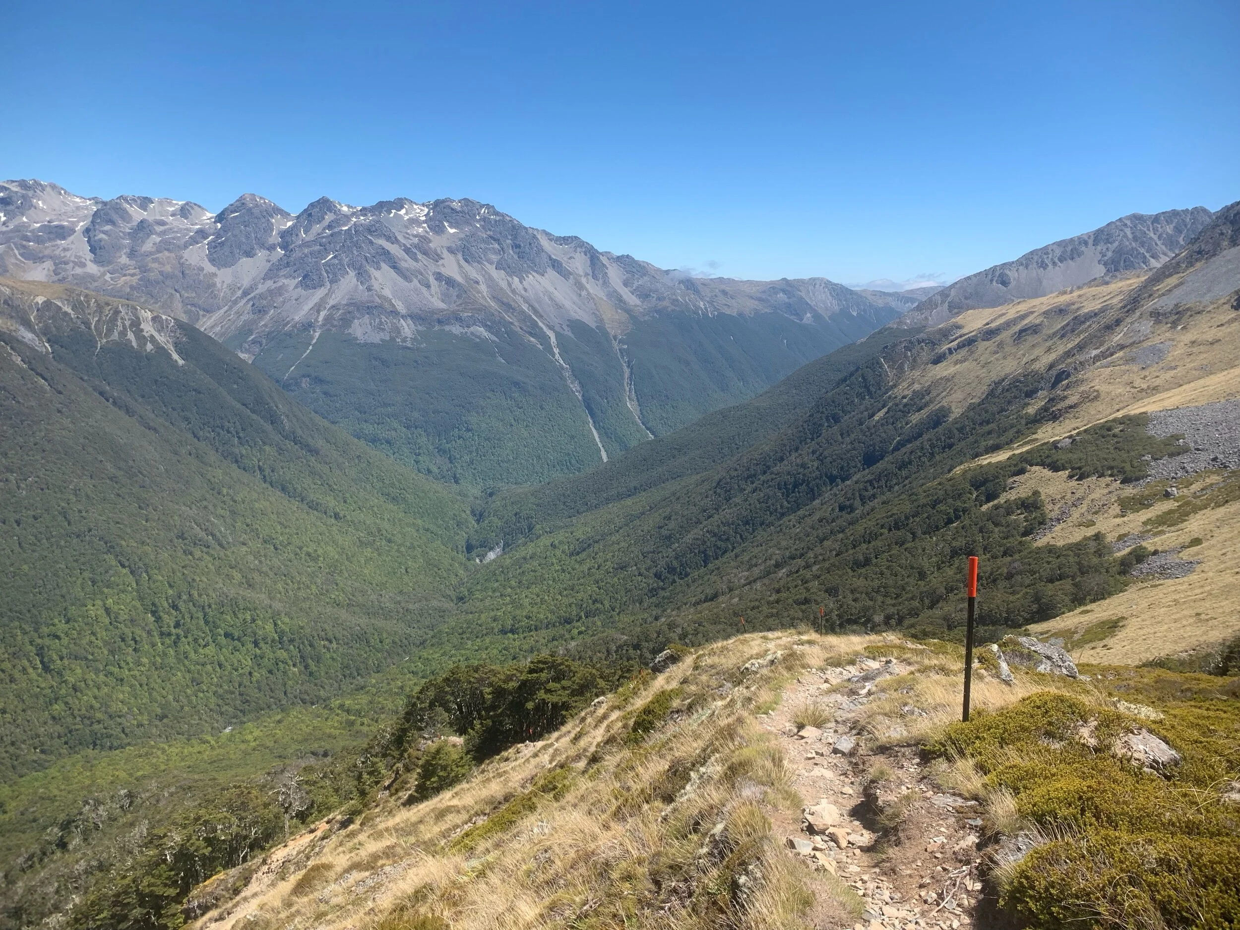
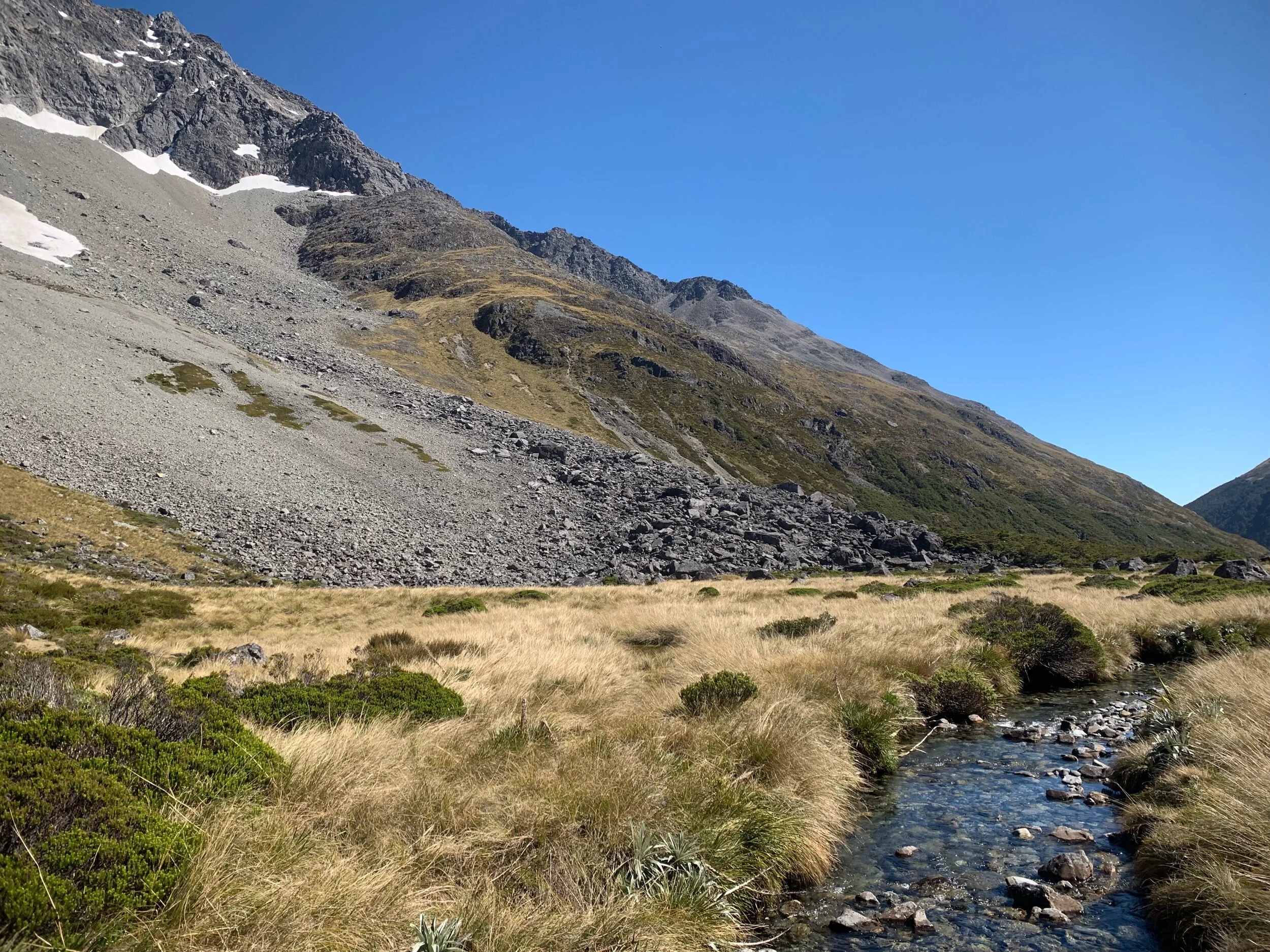
Just over a km from the saddle I noticed I was still on the trail but stopped seeing orange markers or triangles. I checked my guthook map and the GPS said I was still right on the trail. I kept on waking, thinking I would see an orange marker again soon. However, I arrived at a huge rockslide or maybe an avalanche chute. I had heard that the trail markers were washed out at some points on this track and could see faint trails through the rocky area so I continued.
I followed the rocky chute downward towards the river, which was about another kilometer and a half below me. After a few hundred meters the trail disappeared and I was in the middle of this huge steep chute. I checked my guthook map again and was still right on the trail so I figured I would continue down the chute.
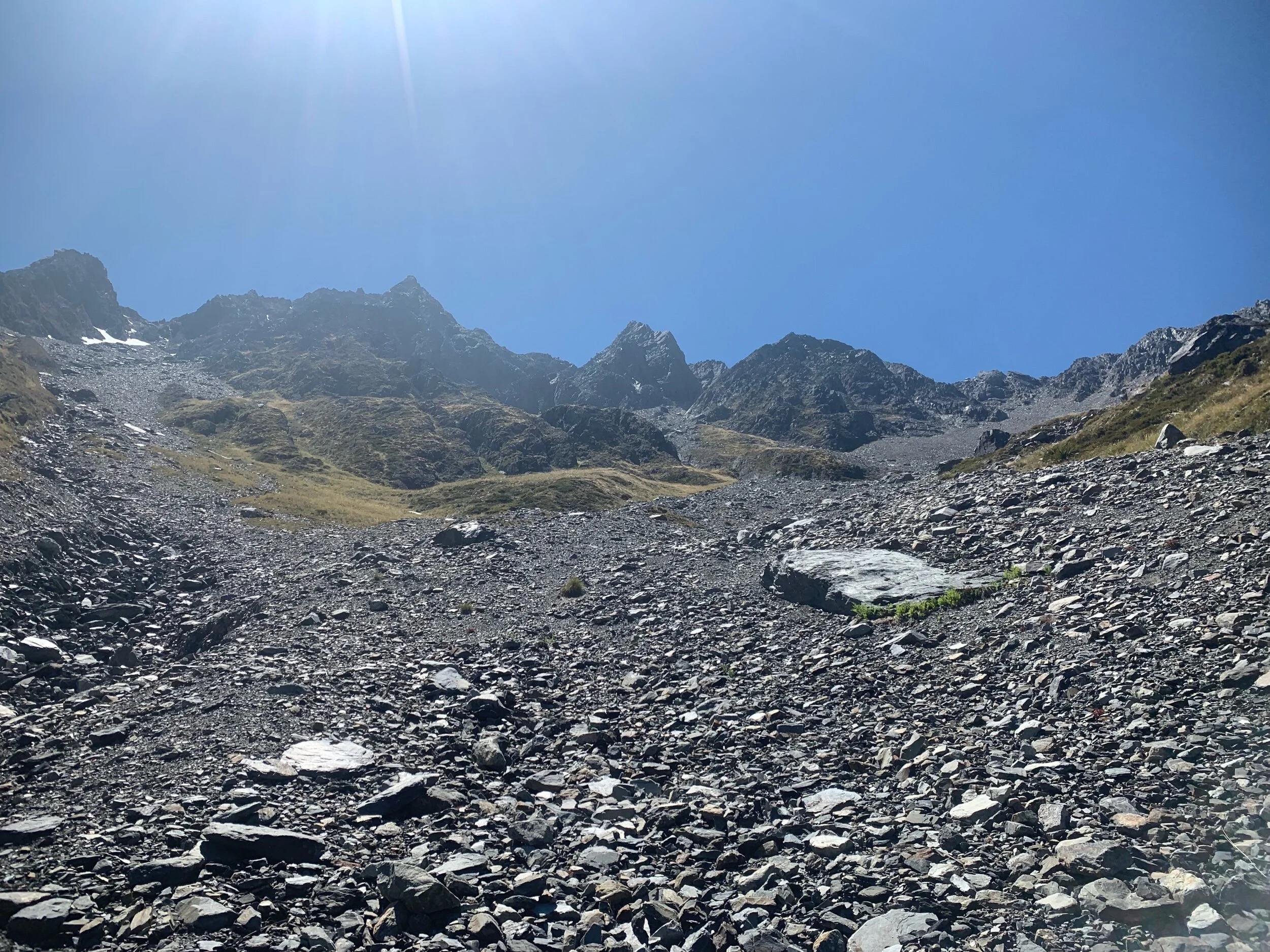
The rocks and gravel got increasing loose as I continued down. After about 10 minutes of sliding I heard someone whistle. I looked high up on a ridge to my left and saw Charlie. I yelled and asked if that was the trail up there and he replied with a yes. This annoyed me as my app still showed me right on the trail.
I didn’t have much option at that point other than to continue down the rockslide area and meet up with the trail a ways up. At one point the loose rocks gave out from under me and I fell. My right leg got caught under my body and as it was happening I thought to myself this is the end of my hike, just waiting to hear a pop or bone break. To my surprise when I stopped sliding I was able to get up and didn’t feel any pain of any kind. I knew I had gotten super lucky and took a quick breather to reset my head before continuing.
After a few more hundred meters the rockslide turned into a creek. I knew this would lead me to the river below, which the trail ran alongside. I hopped from rock to rock down the creek for a couple hundred meters. Eventually, I heard and then, shortly after, could see the river.
I was relieved to spot an orange marker and the trail. I had been off the trail for the last 45 minutes and figured the others had zoomed past me and were waiting at the hut. I fast walked the last 3.2kms to the hut.
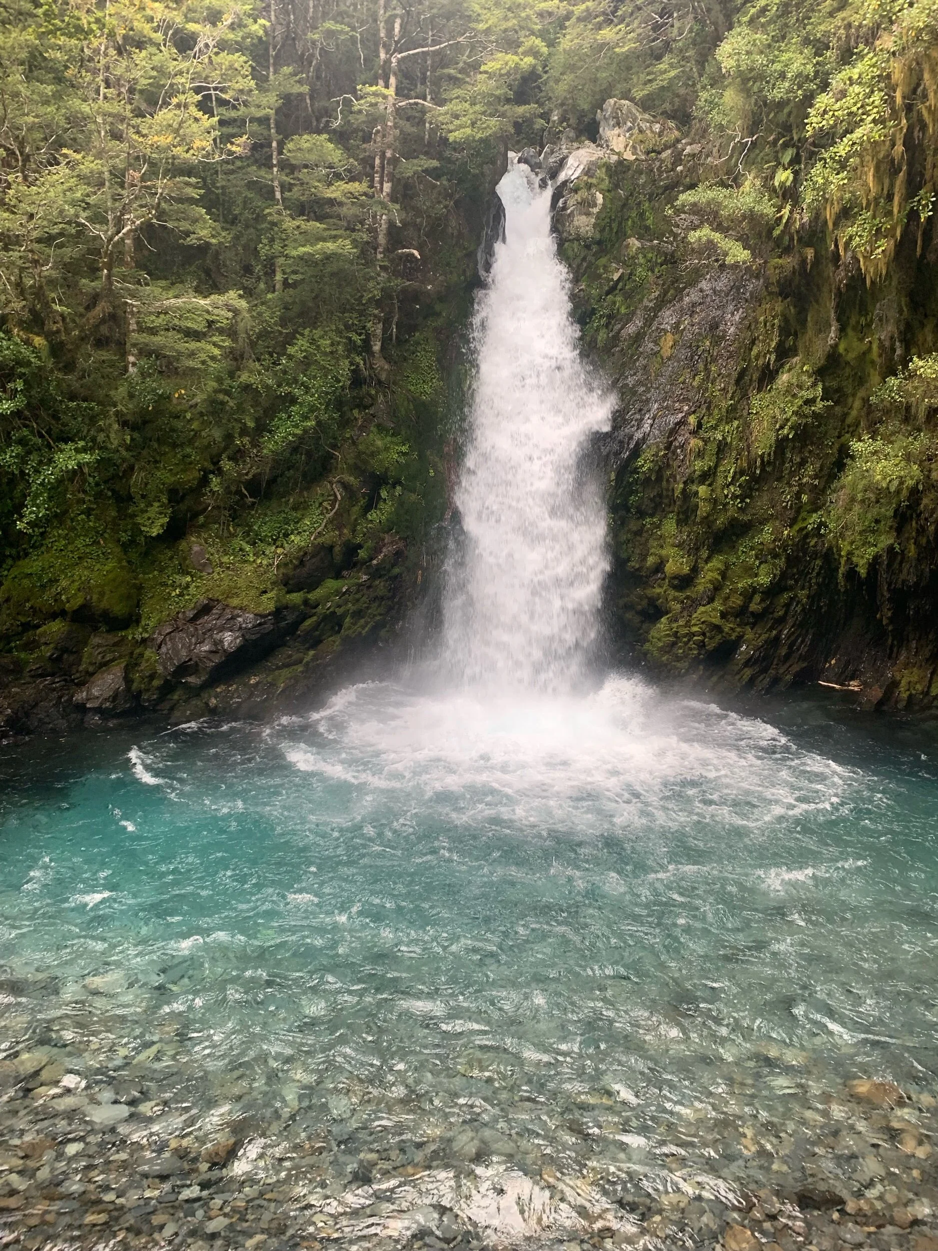
At one point the river turned into a waterfall that fell into a huge narrow canyon. I estimate it was over a hundred feet deep and no more than a few feet wide. Unfortunately, this didn’t allow for any good pictures of it.
When I got to the hut I was surprised to see I was the first from our group to arrive. When Charlie arrived he said the marked route was very hard also. It turns out that there are two routes due to avalanches. I took the avalanche prone route and the others took the safer route. Guess it’s good avalanches don’t typically happen this time of year here.
I ate a later lunch than usual when I arrived. I then bathed in the river and laid down with only a few more hours left in the year. We played cards after everyone arrived.
This hut is a main hut on a popular Nelson Lakes circuit. Therefore, it was crowded with people all afternoon and evening. About 25 or so people will be staying here tonight. All afternoon the hut was unbearably hot but I chose the sauna over the sandflies outside.
I also noticed this afternoon that the phone charging cord I bought yesterday stopped working. I’ve had it for less than 24 hours, ridiculous. Somewhat related but not really, did you know that the whole country of New Zealand doesn’t have an Apple store? That is hard for me to wrap my head around considering I have about five of them within a five mile radius of my house. The google machine says that the country is big enough to support three or four stores. Get on it Apple.
For dinner I had another freeze dried meal of beef teriyaki. The meals don’t weigh much but are so bulky and take up so much room in my food bag that i’m trying to eat the freeze dried food first.
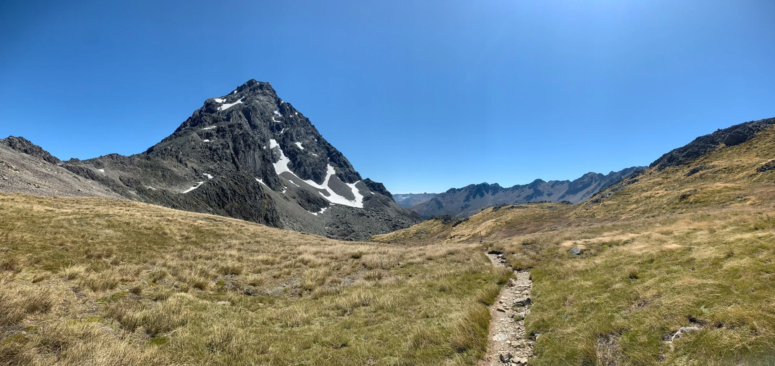
Tomorrow we have a huge and long climb over Waiau Pass. We get off this popular circuit so hopefully there are much fewer people that way.