Day 89: Fix Your Damn Trail Judith!
January 7, 2020
Kilometers: 2111.8-2148.2
Hurunui Hut No. 3 to Morrison Footbridge Campsite
Judith is known by everyone in the TA community. I’m not sure if she has an official position with the Te Araroa Trust but she is the admin for the TA Facebook group, far more powerful anyway. She posts at least daily about things such as weather, detours on the trail, safety information and more. She blows up my notifications.
There is no doubt that the work she puts in to maintaining the trail community is invaluable. She answers questions, offers advice and is on top of it 24/7.
Earlier on in the trip we started a joke. Anytime the trail got bad like super muddy, had poor signage, got dangerous or any other number of things we would jokingly yell “fix your damn trail Judith!” knowing very well that these issues were in no way her fault or that she could fix them.
It became a running joke that began to get used almost once a day. Today we had some big time “fix your damn trail Judith” moments.
We woke up at 7 even though we’d said we’d get up at 6:30. But whatever we’re on vacation right? We were on the trail at 7:30 with a huge day ahead of us.
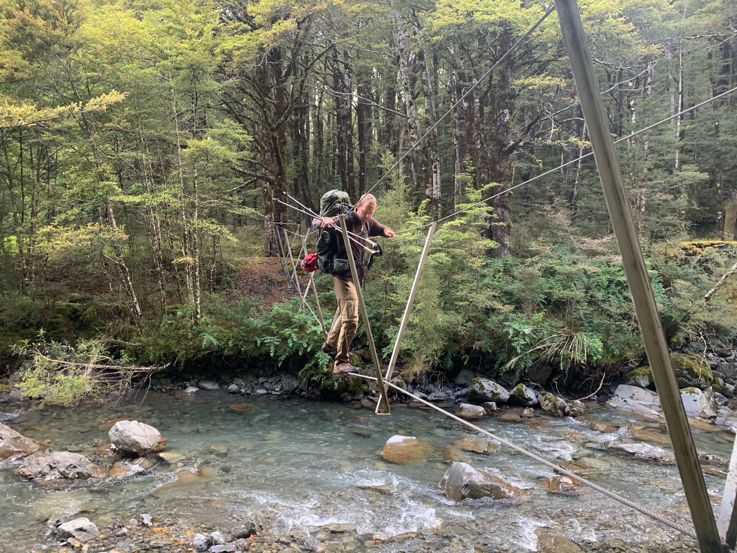
Not too soon after leaving the hut we had our first three wire bridge of the trip. These things make the sketchiest of swingbridges look safe. We each took our time sliding across.
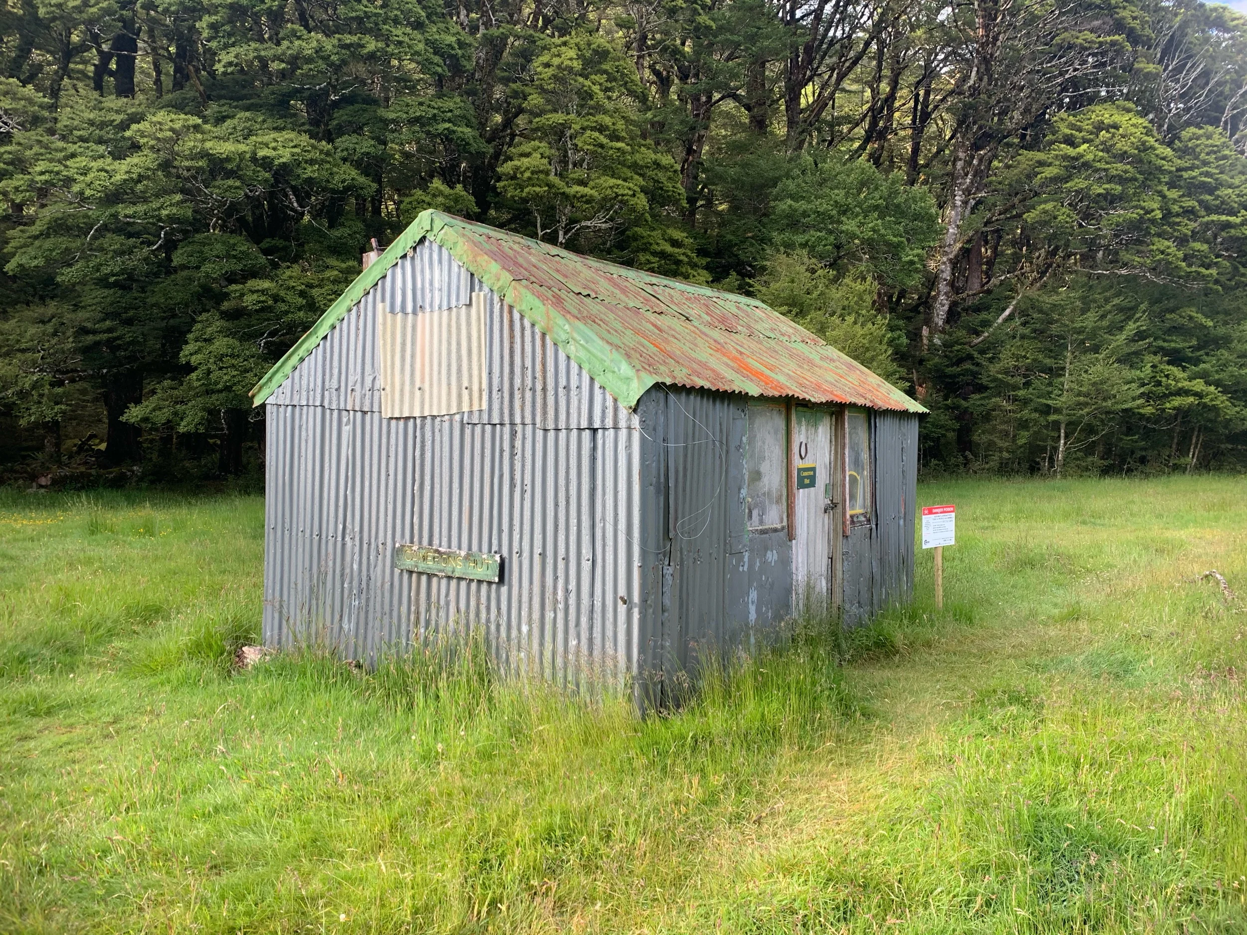
Not long after crossing the three wire bridge we arrived at Cameron Hut. It is the worst hut we have seen so far on the trip but on the other hand is the leader in the clubhouse for biggest pile of scrap metal we’ve seen yet.
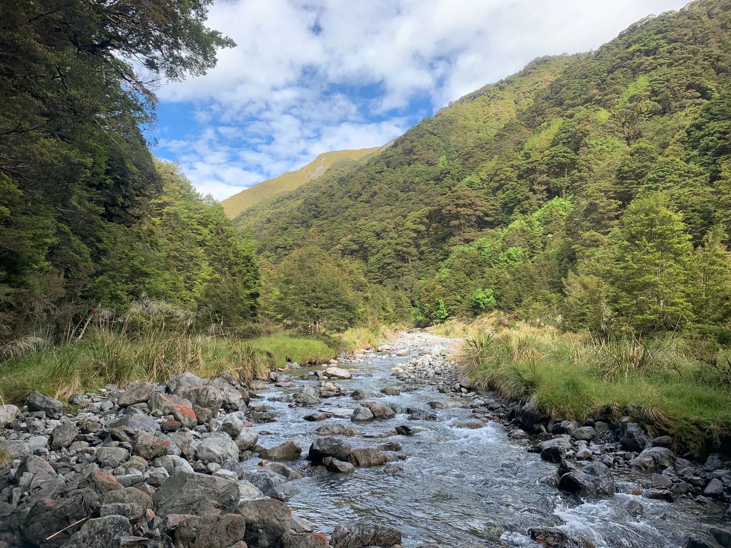
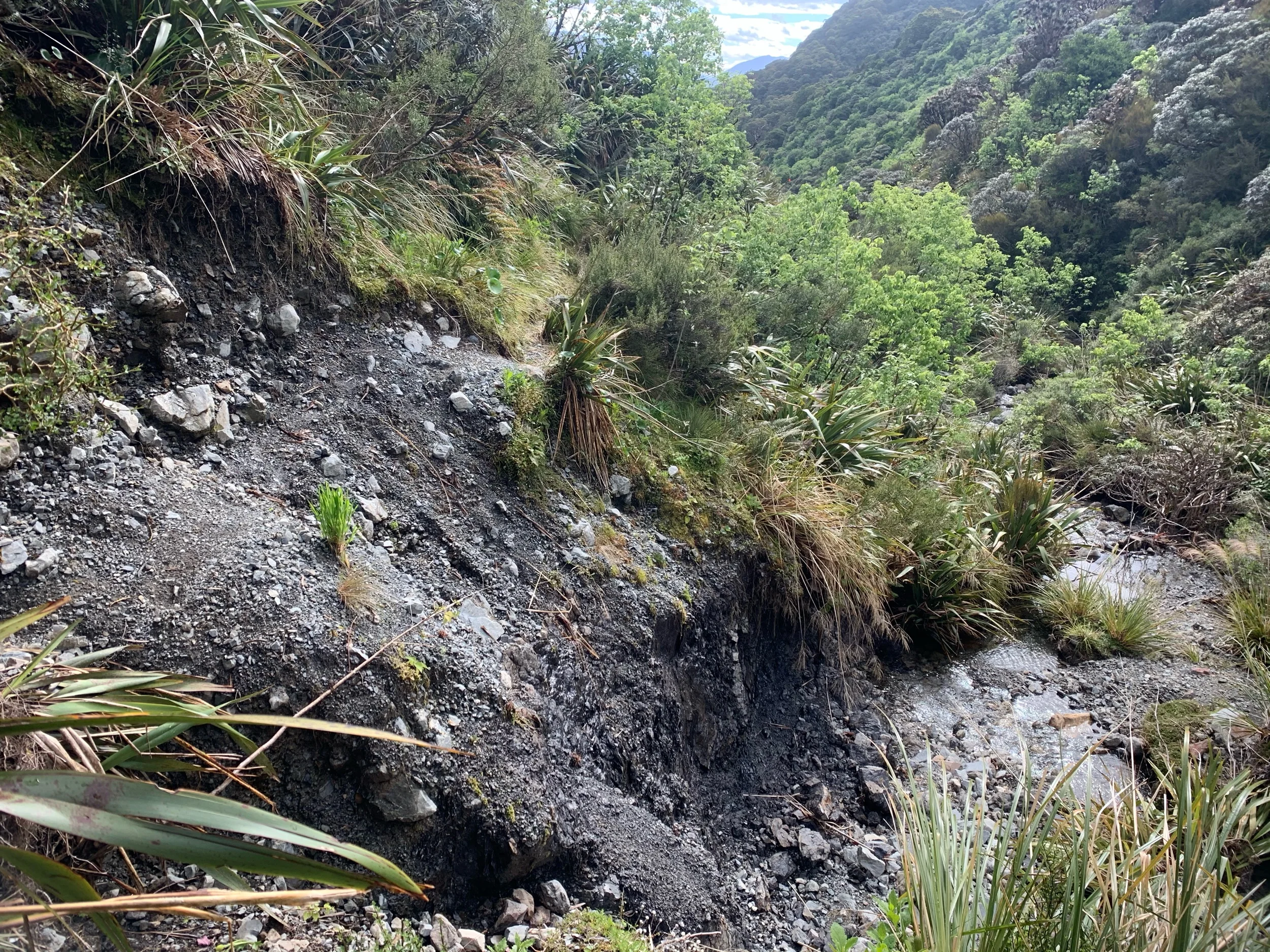
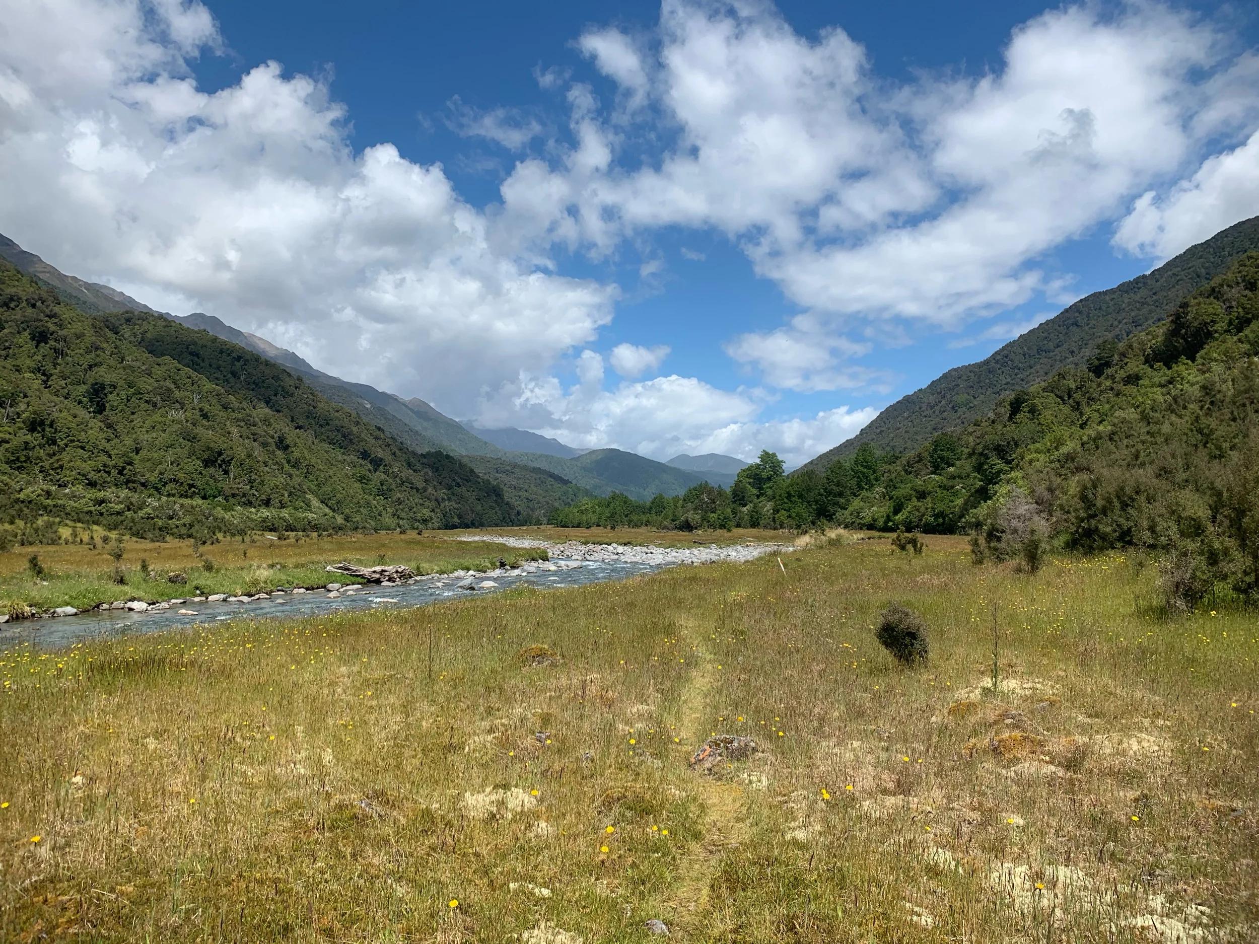
For the next two hours we climbed up to Harpers Pass, which is a historic pass in the Southern Alps used to connect with the West Coast. The trail took us next to a river the slowly climbed to the pass. Near the top the trail got somewhat overgrown and parts had gotten washed away.
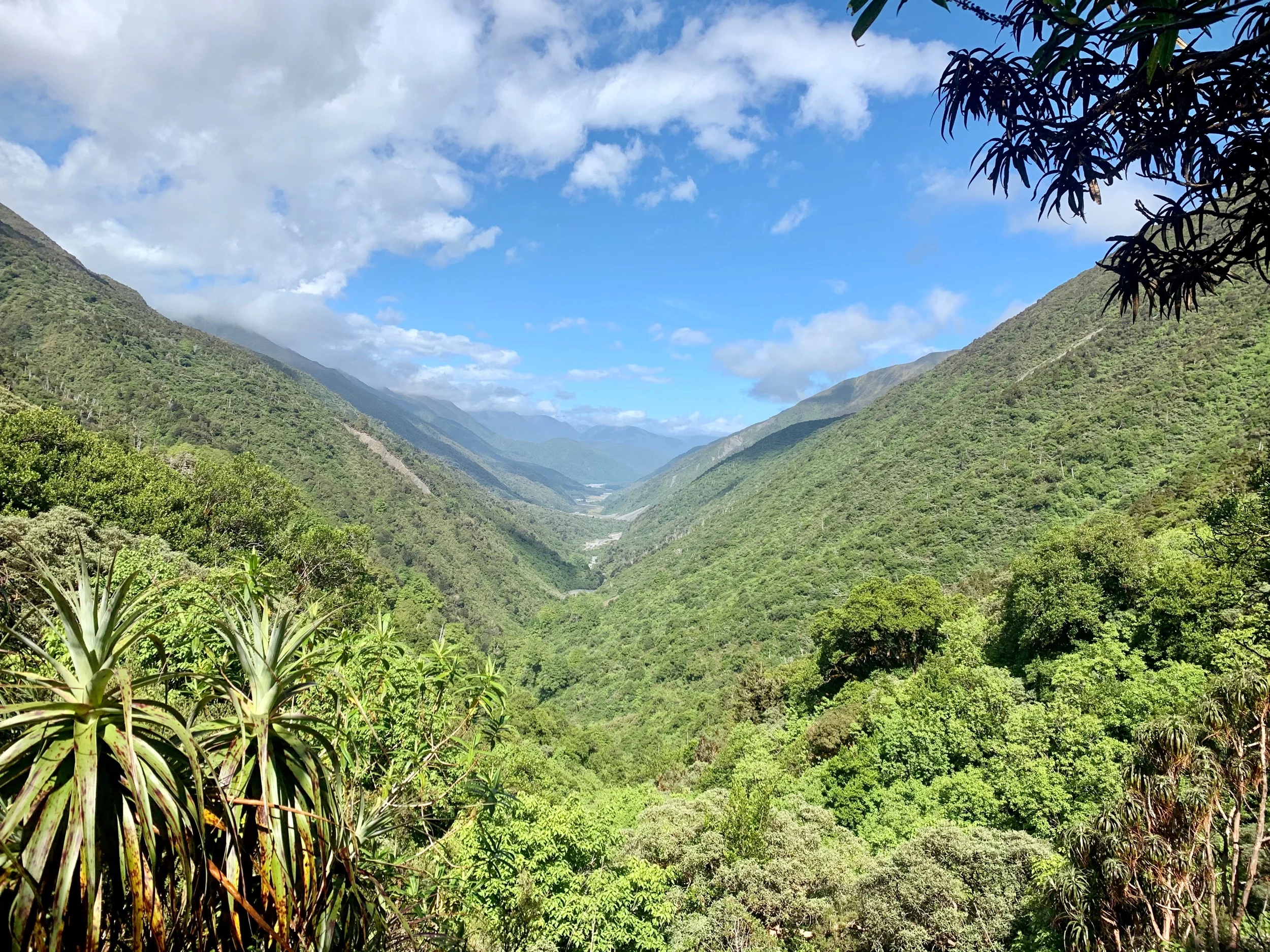
When I got to the top of the pass at 10am I sat down and had first lunch while waiting for the others. The views were great in both directions.
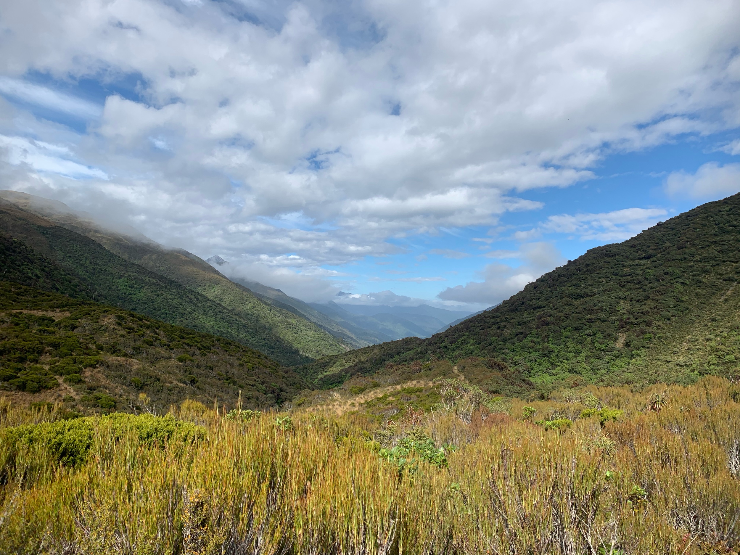

When they arrived we started down the other side. It was steep but offered nice views of the river valley we would be walking through for the afternoon.
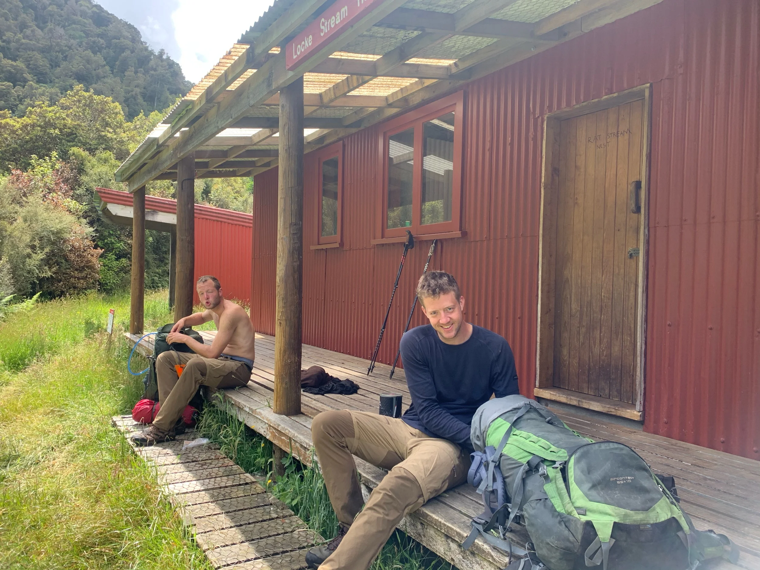
When we got down to the valley we quickly got to a hut. Someone had written “Rat Nest Hut” on the door. Glad we weren’t spending the night. Peter and Charlie decided to eat lunch there but since I had just eaten at the pass I decided to forge ahead to the next one.
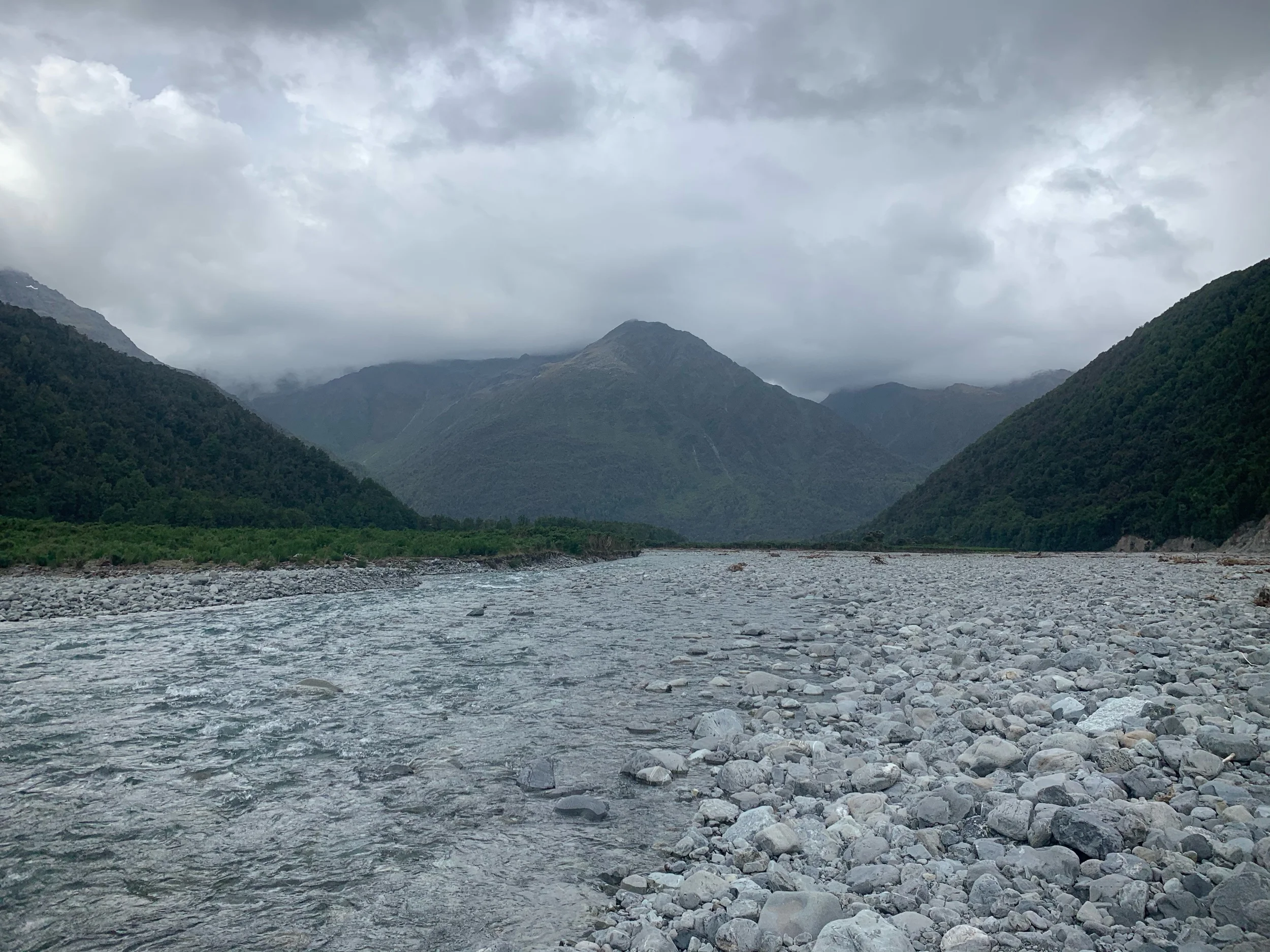
The next 8kms were through the river valley with suspect trail signage along the way. It involved a couple of river crossings but nothing too swift.
I arrived at kiwi hut, which was a few hundred meters back off the trail, at 2. I ate in the old hut alone and signed the intentions book. At 2:30 I made my way back down to the trail in anticipation of the guys being about that far behind me. Fifteen minutes later they showed up and we were ready to continue.
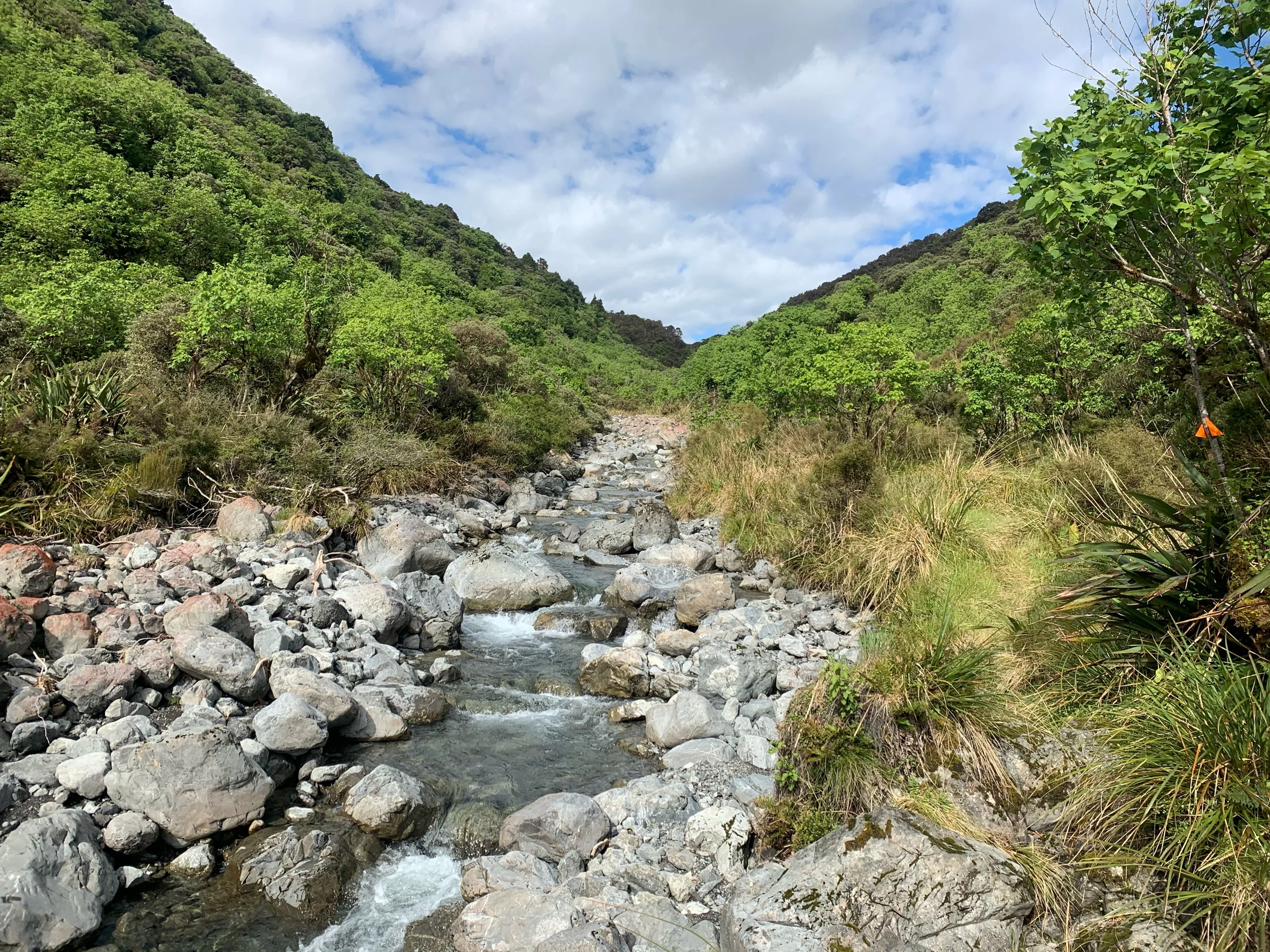
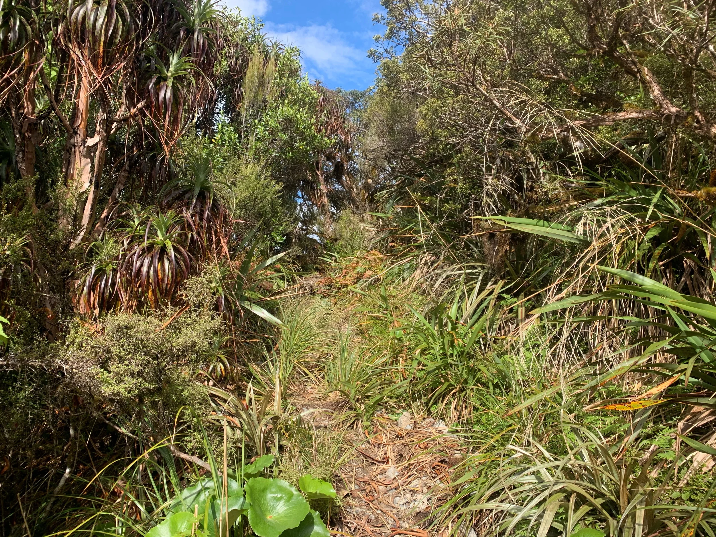
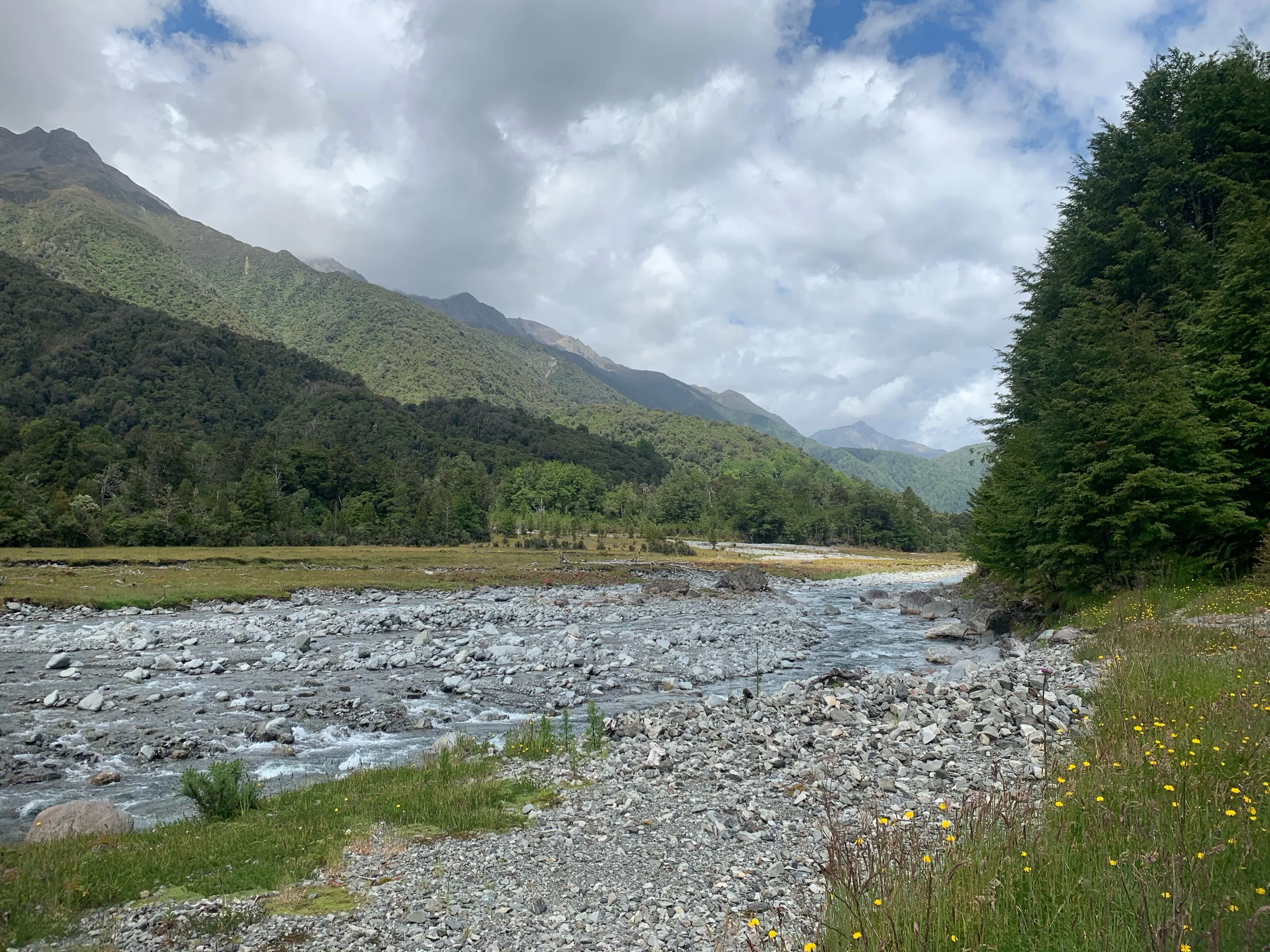
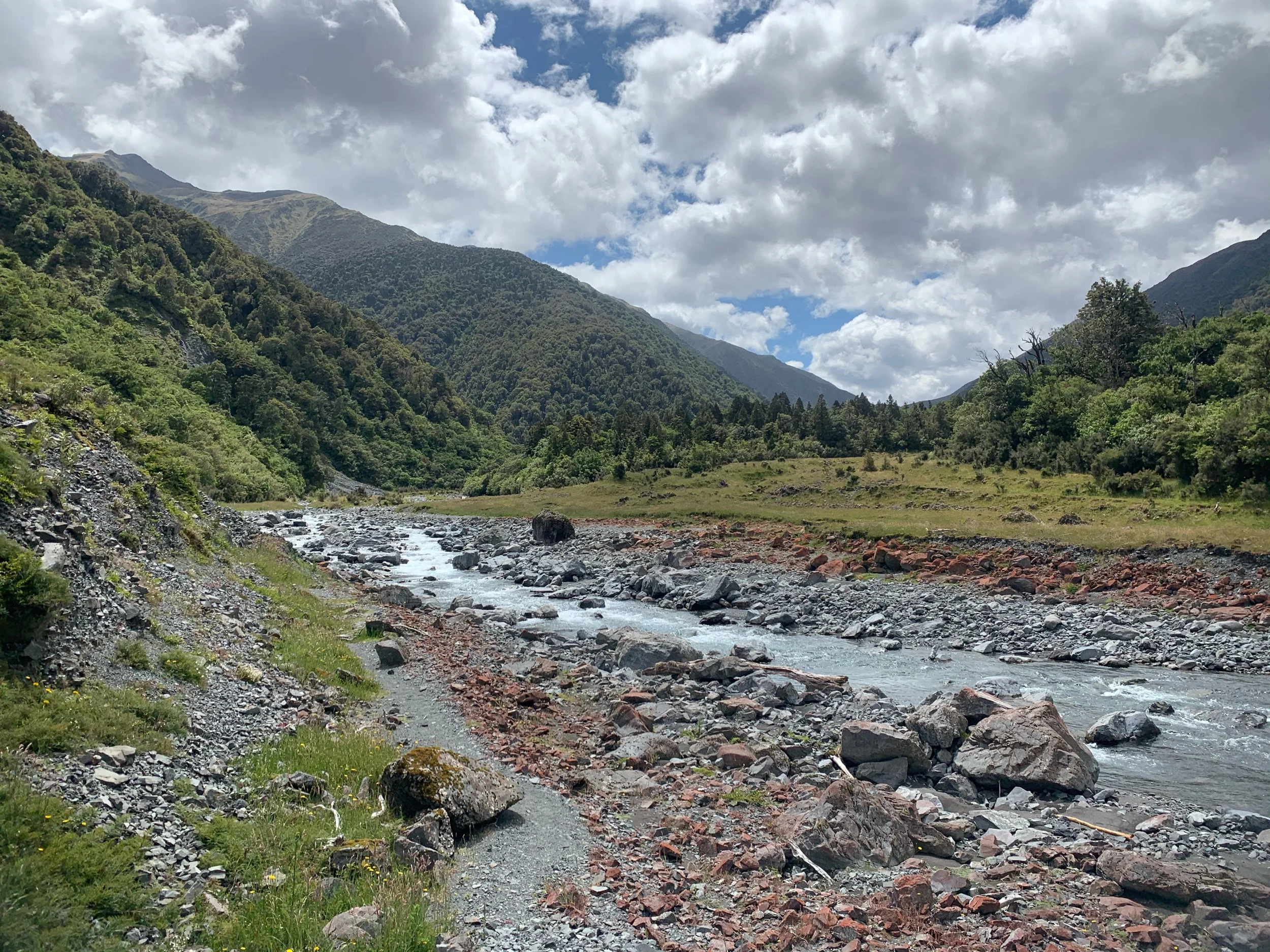
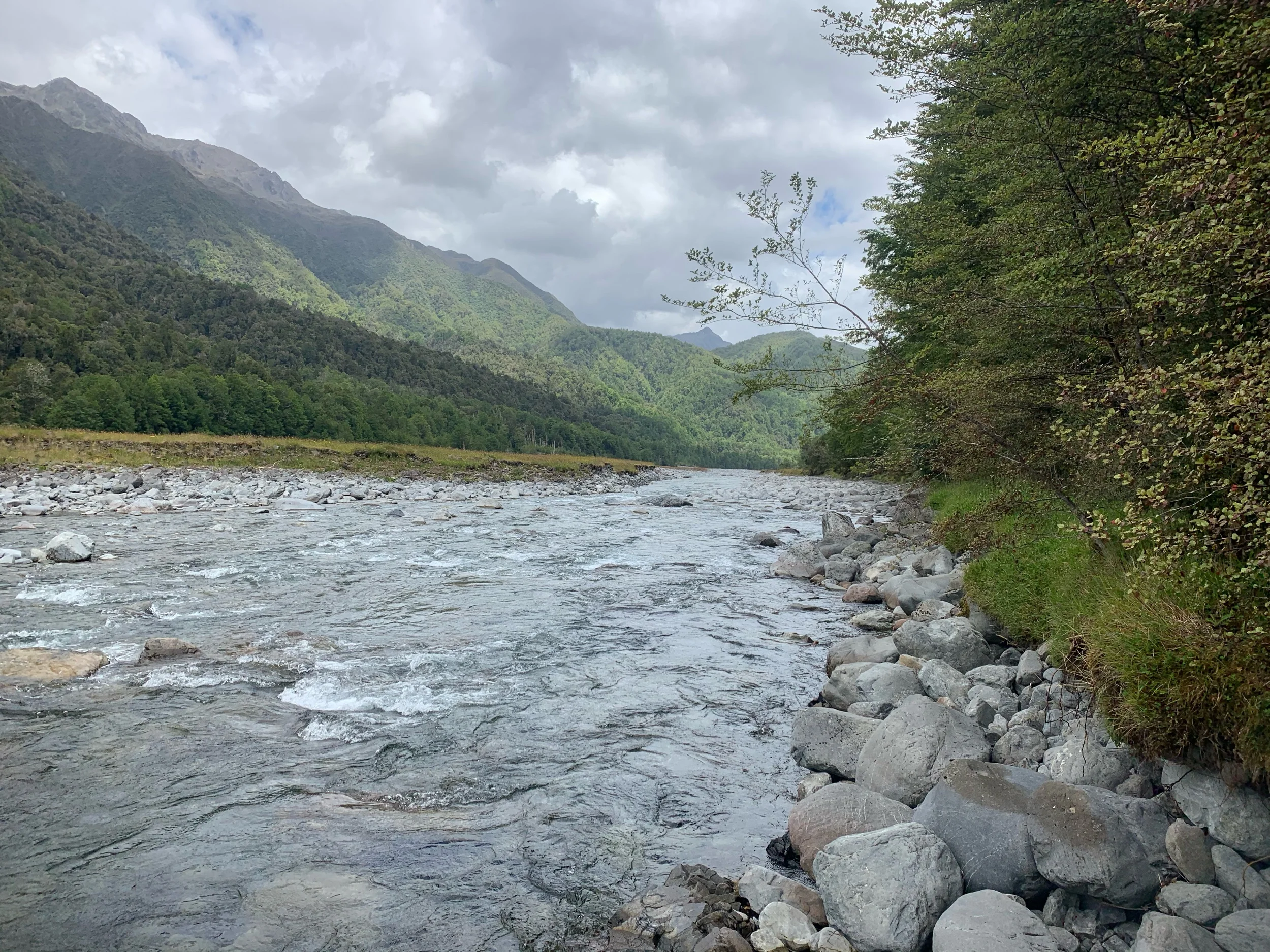
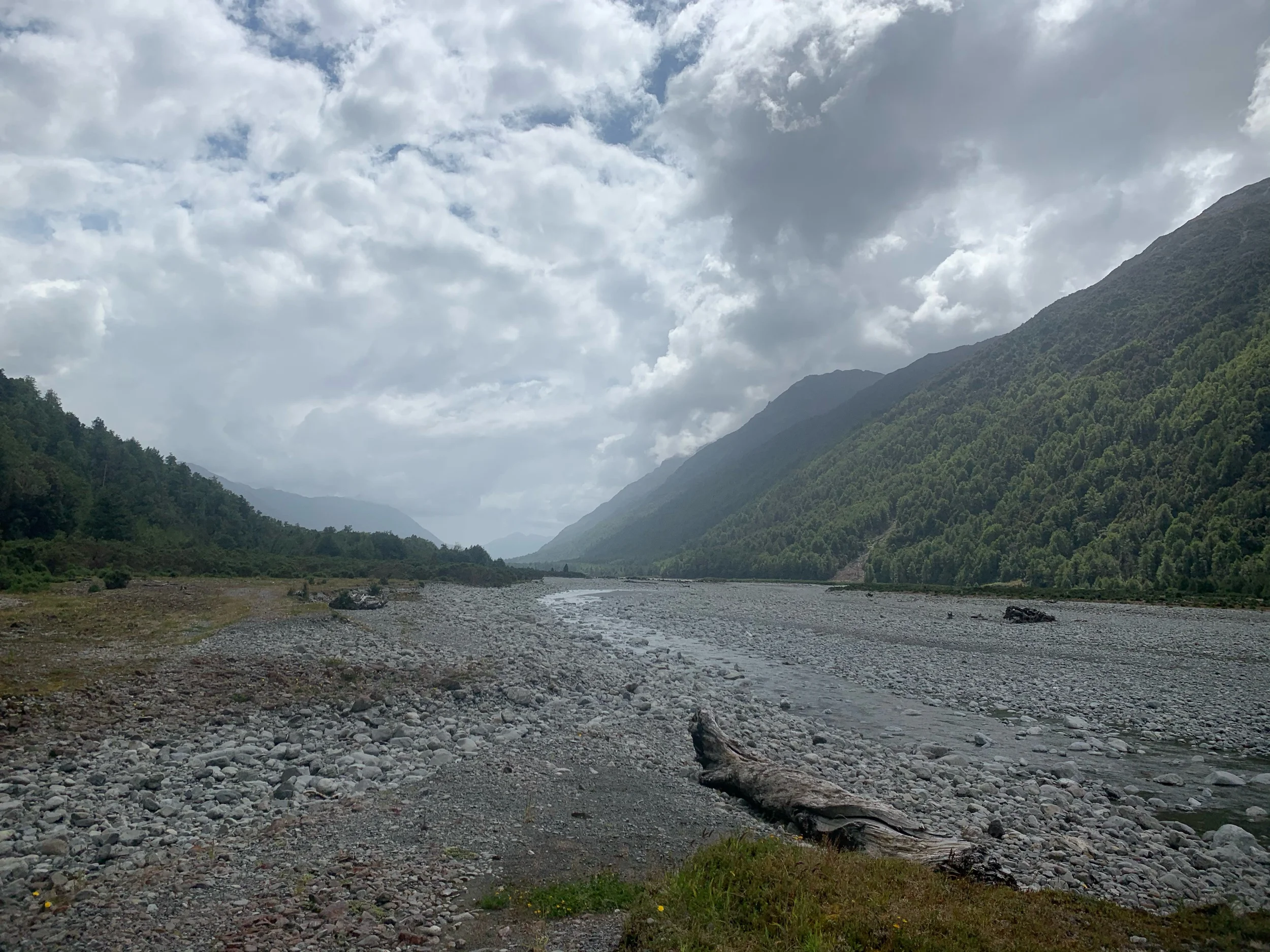
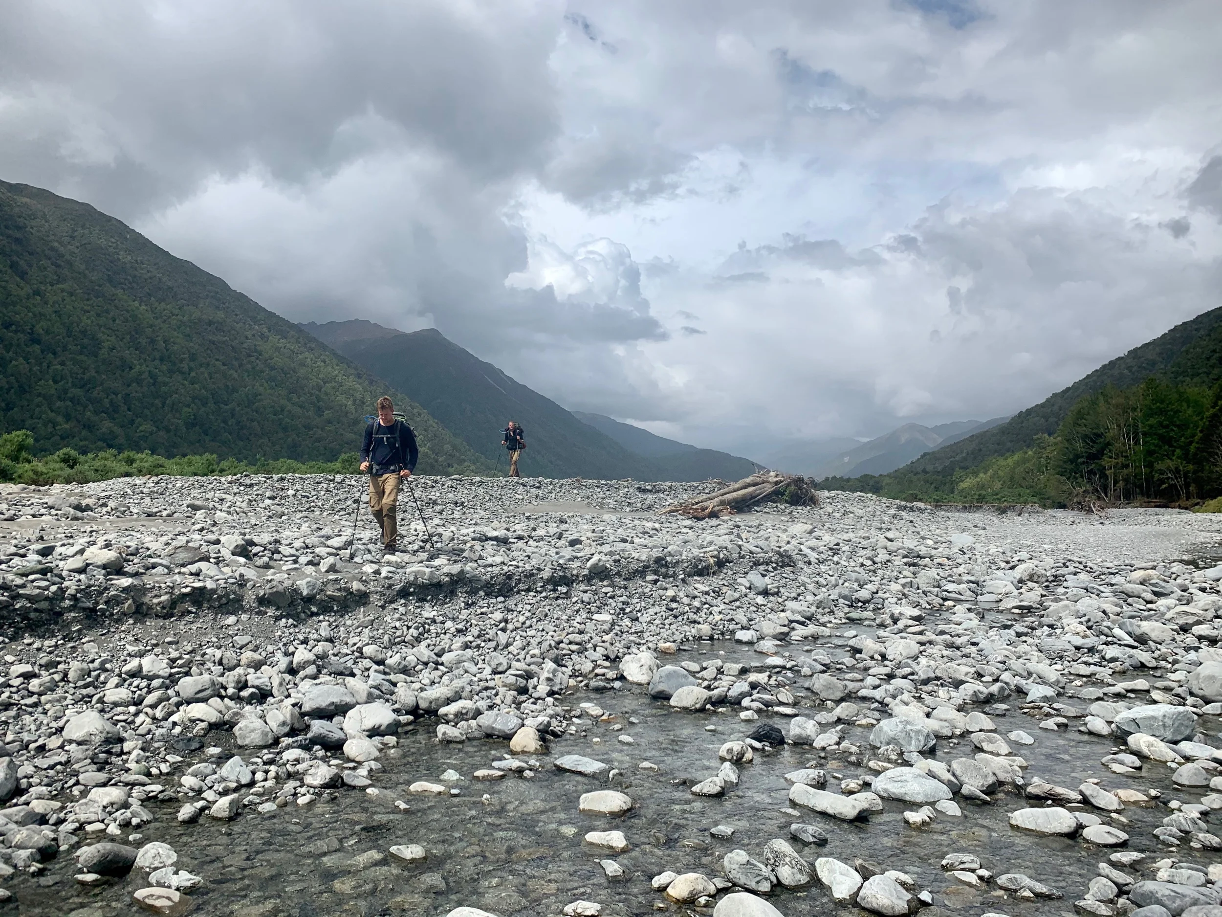
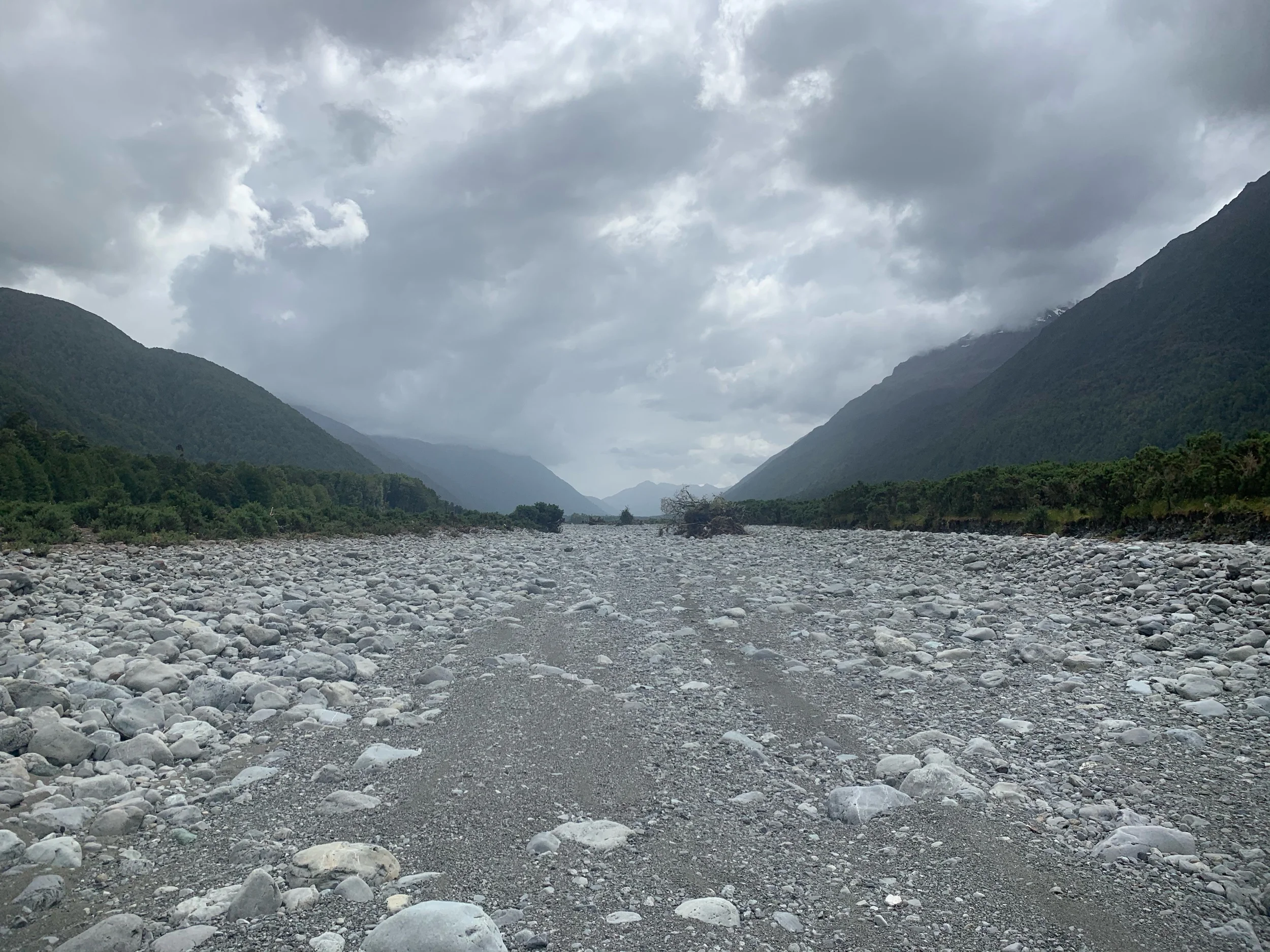
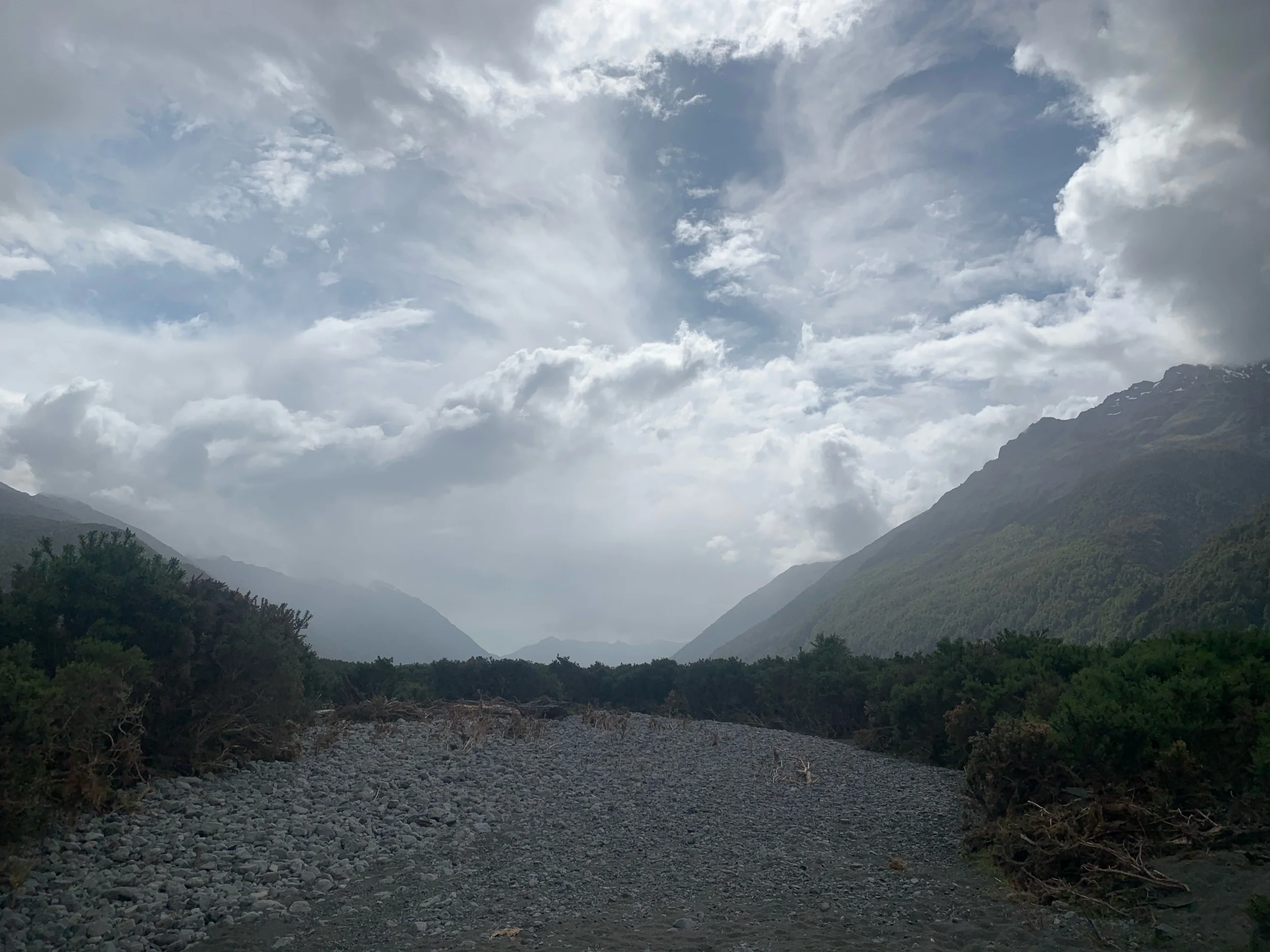
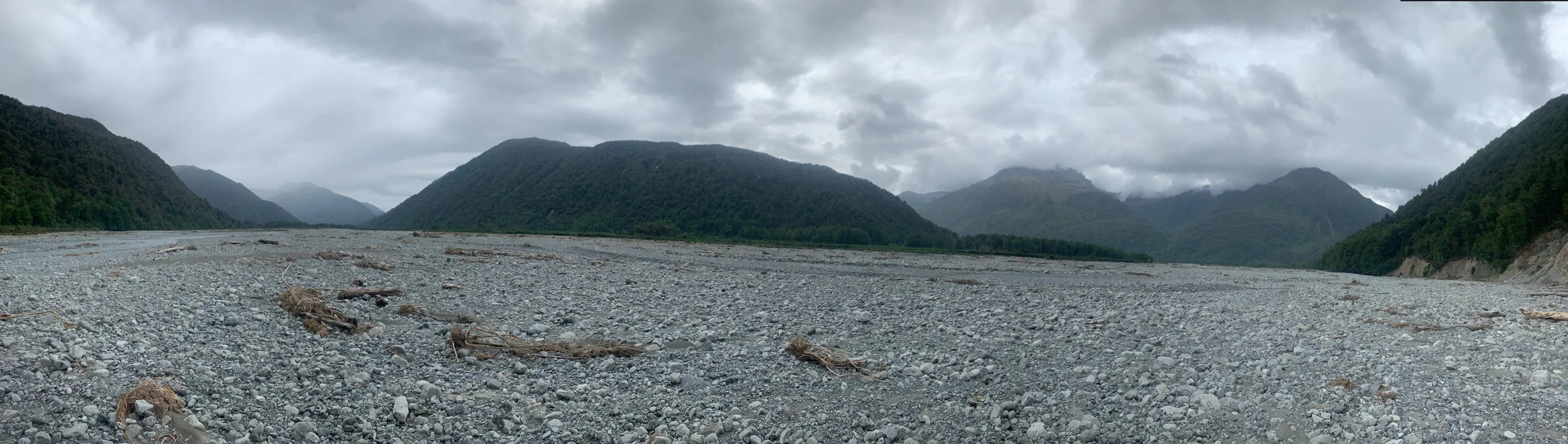
We still had 14kms to go through the river valley. We had heard that some signage had been washed out in this section so we just kept walking downriver. For kilometers at a time we wouldn’t see any trail markers. Next to the river we’re huge rock filled river beds with groves of large thorny bushes separating the rocky paths.
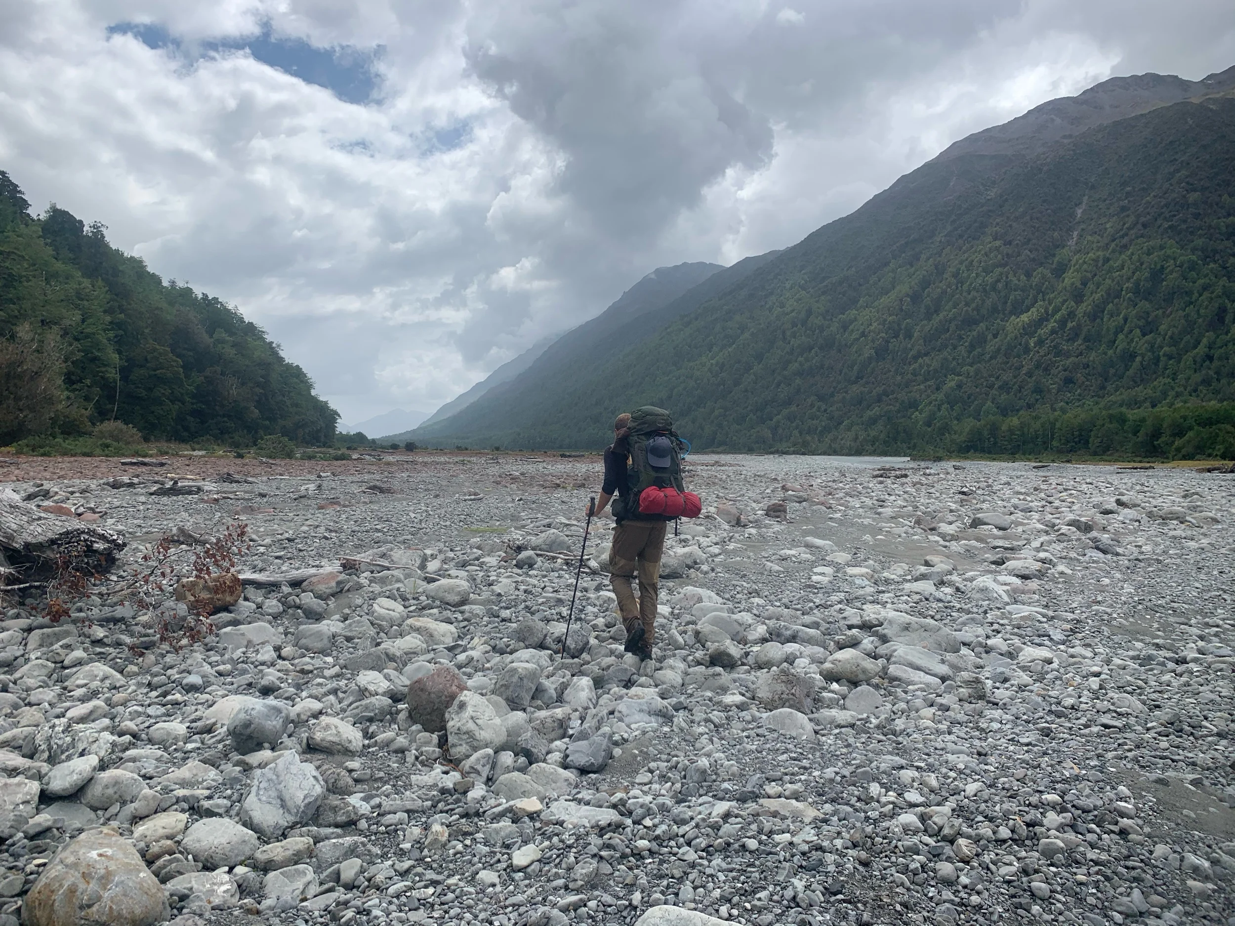
Some of these patches of thorny bushes got to be kilometers long and a few hundred meters wide. At one point we followed a sign into one of these fields of 10 foot high thorn bushes. It was like a maze with hundreds of different paths to take but they were all overgrown with these thorn bushes. As we pushed through cutting up our arms and legs all three of us were yelling “fix your damn trail Judith!” in between French curse words. We walked through this field for 15-20 minutes until we found an exit to a rocky river bed. We did not venture into any more of those thorn bush fields the rest of the day.
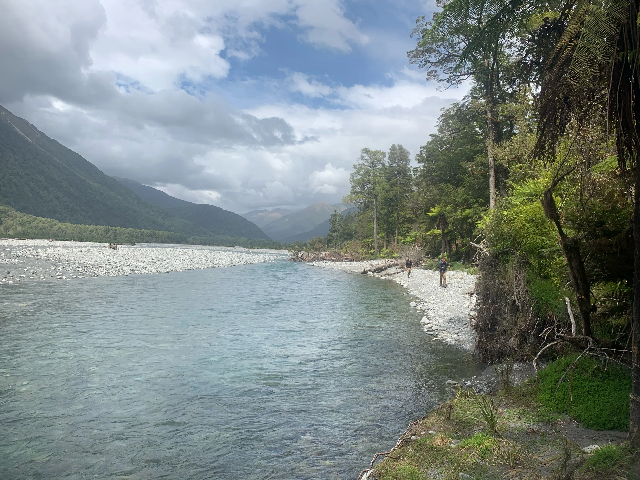
As we continued the sky began to threaten to storm on us. Of course being in a dry riverbed is about the worst place to be when it’s about to rain as it could have feet of water in it in a matter of an hour. We pushed hard all the way until 6pm to reach the campsite we were aiming for. The last three kms were wading through shallow rivers to reach the end. By the time we finished my feet were numb.
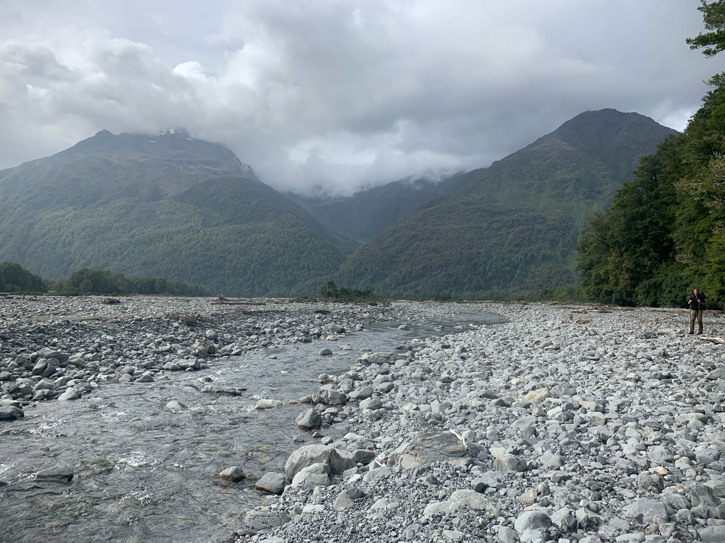
I was definitely expecting the campsite to be a bit more than one flat tent spot, which someone had already taken, and a fire pit. Nonetheless I quickly set up my tent in case it decided to rain. I hopped in and ate a snack.
For dinner I had a freeze dried meal of honey soy chicken. I ran out of fuel last night so I had Charlie and Peter boil some water for me. I ate in my tent as the sandflies amassed around me. As I lay here writing this there has to be at least one thousand sand flies in between my tent netting and my rain fly.
Today was a huge 36.4km day over rocky terrain. We have set ourselves up to finish the section tomorrow and be spending the night in the town of Arthur’s Pass. The trail notes estimate this section to take 6-8 days. We’re gonna have finished it in three and half days, not too shabby.