Day 44: The Tongariro Crossing
November 23, 2019
Kilometers: 1096.6-1130.7
Tongariro Holiday Park to Whakapapa Holiday Park
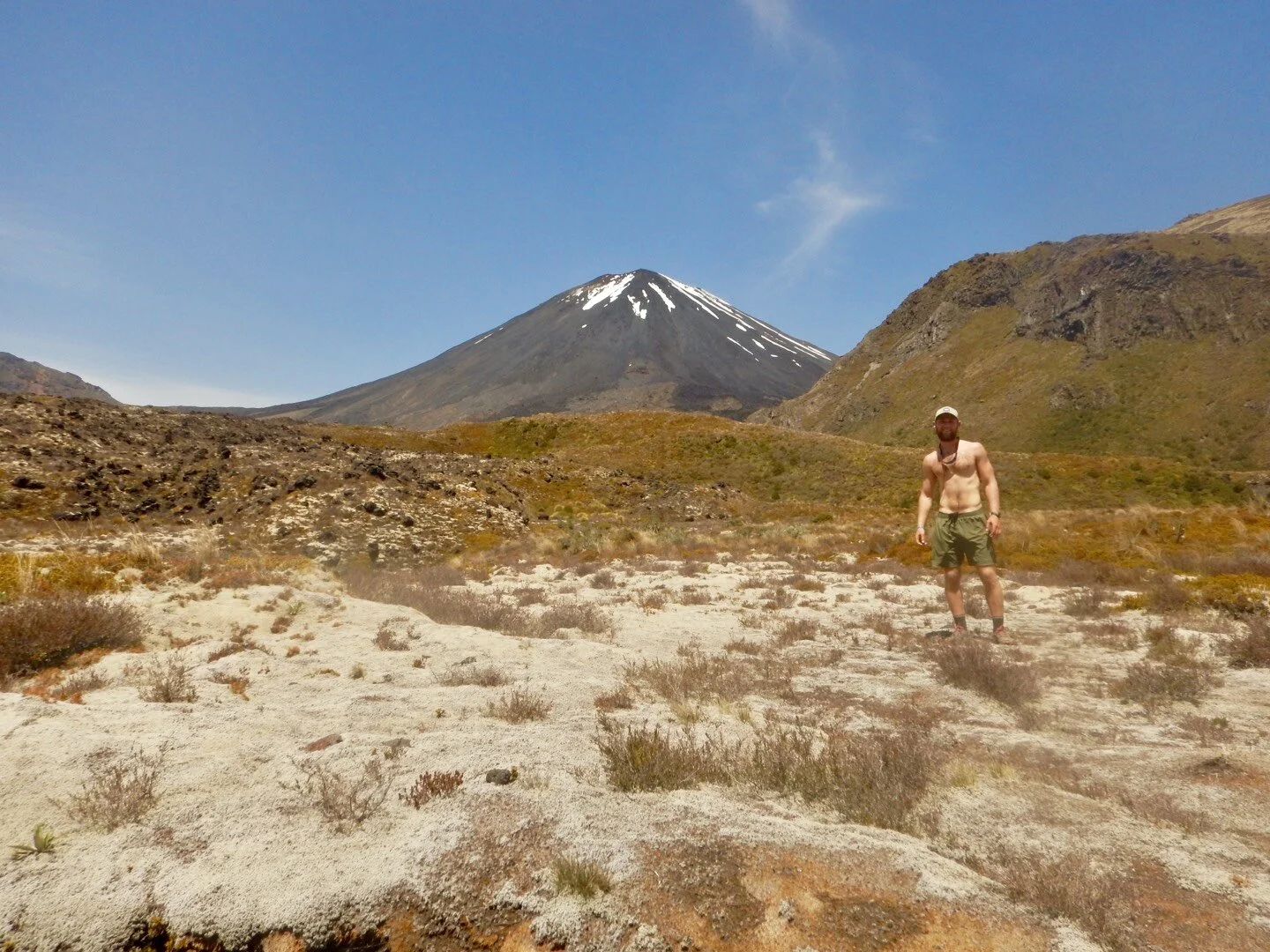
Okay, today was awesome. We hiked the Tongariro crossing, which is the most popular track in Tongariro national park, and possibly the most popular track in the country. It is a huge active volcano that last erupted 2012. If this national park was in America it would be on par with parks like Glacier, Yosemite and Zion in my newly created prettiest/coolest/best category.
In the summer months between 3-4 thousand people do the crossing per day. Although it’s early in the summer, today was a Saturday plus it was amazing weather plus it was “Get Outside Week” in New Zealand, so a perfect trifecta for maximum people. We estimate about 3,000 people did the crossing today. Everyone does the crossing south to north, but the TA trail takes hikers north to south. This means that we walked past every one of the 3,000 tourists. The hike was amazing but the amount of people was far from ideal.
We woke up early knowing we had a big day with a lot of climbing. Our alarms went off at 6 and we were walking by 6:38am. Peter and Charlie decided to hitch up to the start of the trail with Henry and his girlfriend. So Matthew, Ethan and myself began the 7.4km highway walk to the trail. I was feeling great and had my music blasting. I was so in the zone that I completely missed Peter, Charlie, Henry and his girlfriend, who is joining him for Tongariro and the canoe section, pass us while honking and waving at us.
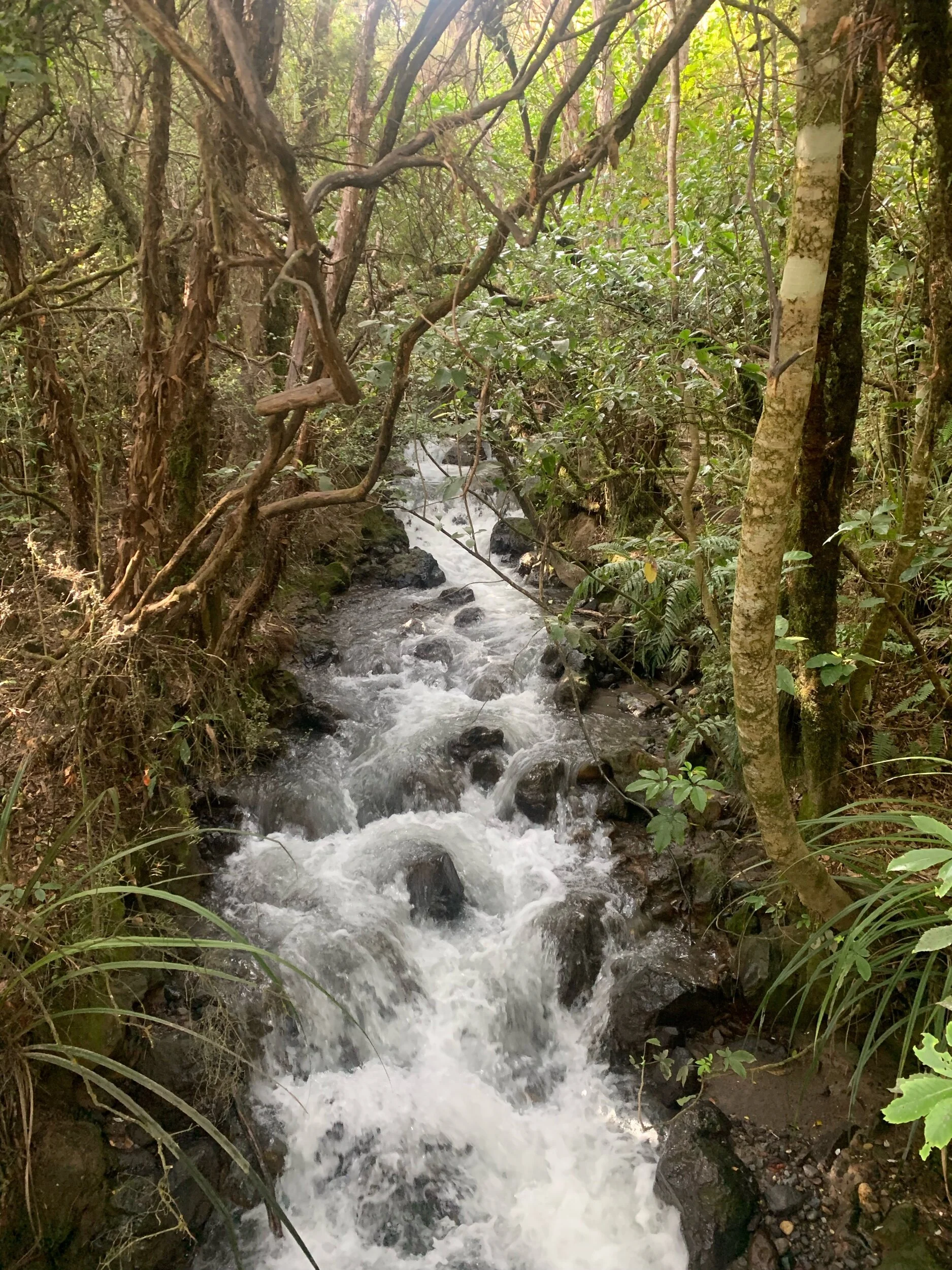
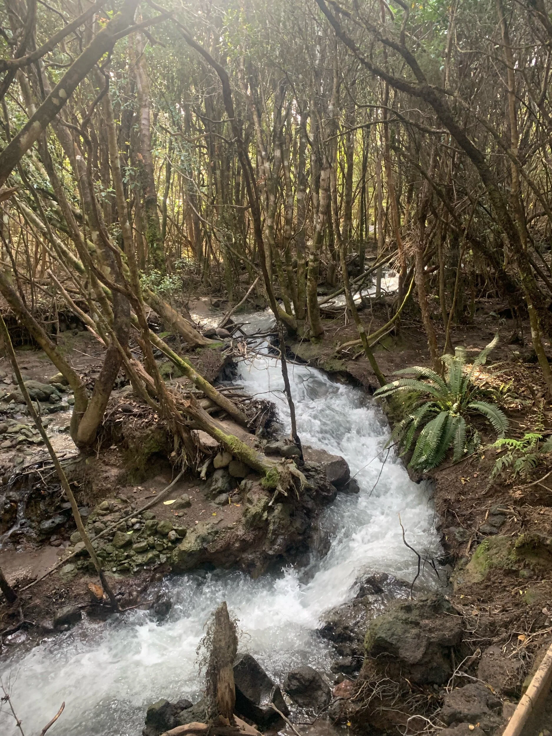
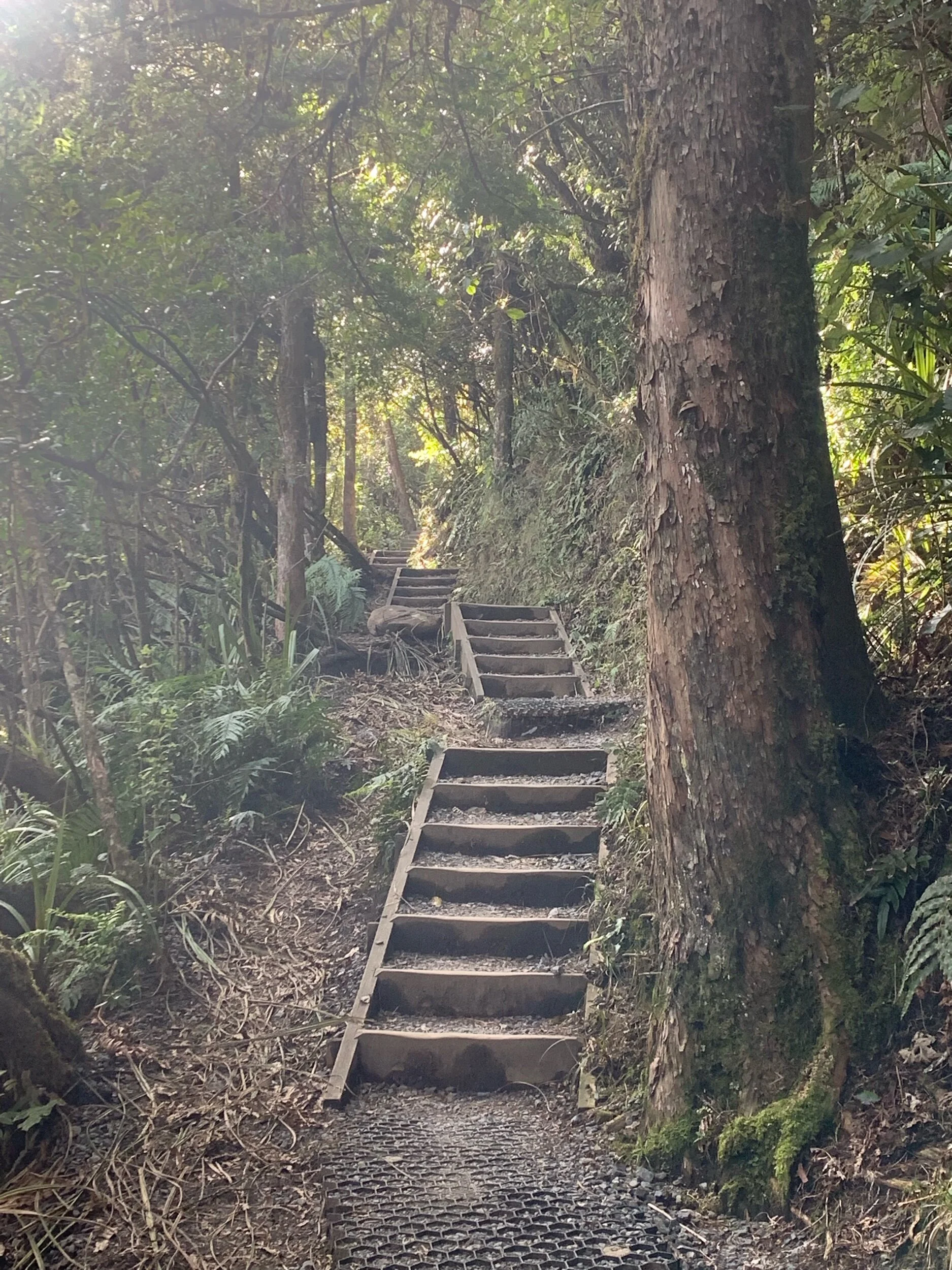
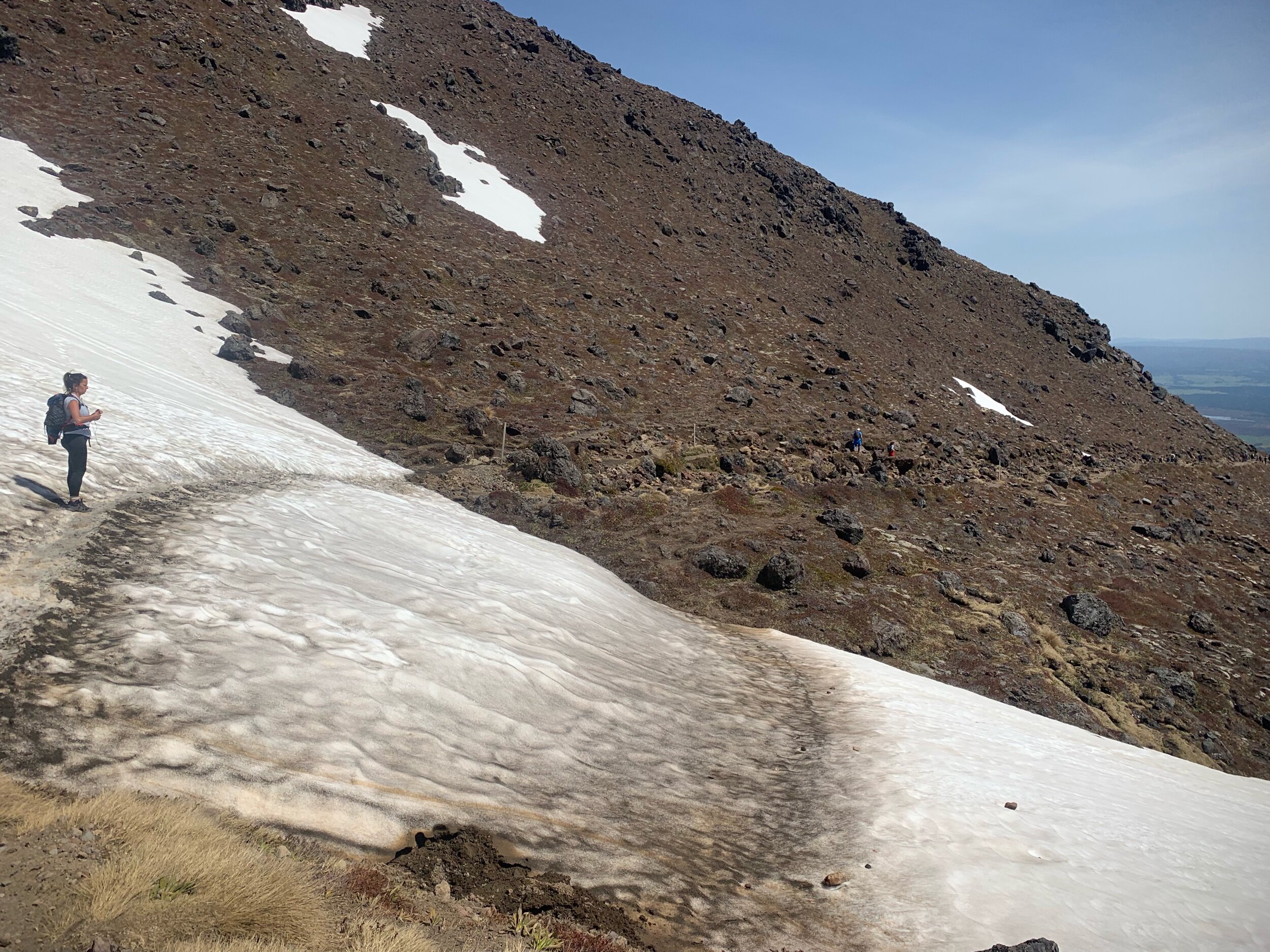
The three of us started the crossing trail at 8am. It started slowly climbing through a forest that ran along side a volcanic stream. The stream was super shallow but super fast moving. As it left the stream the staircases began and the climb was on.
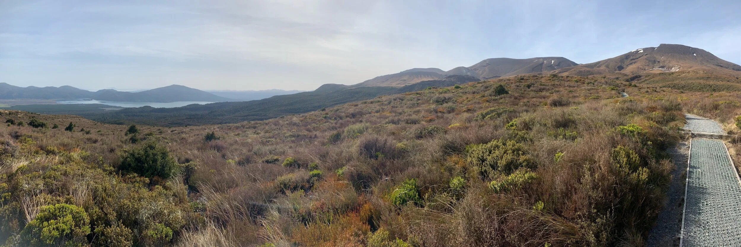
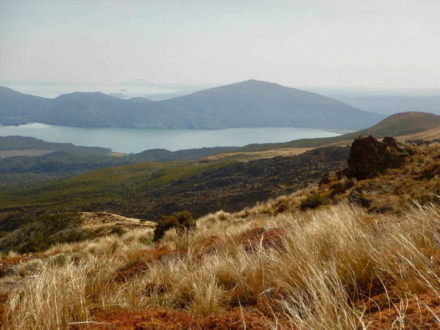
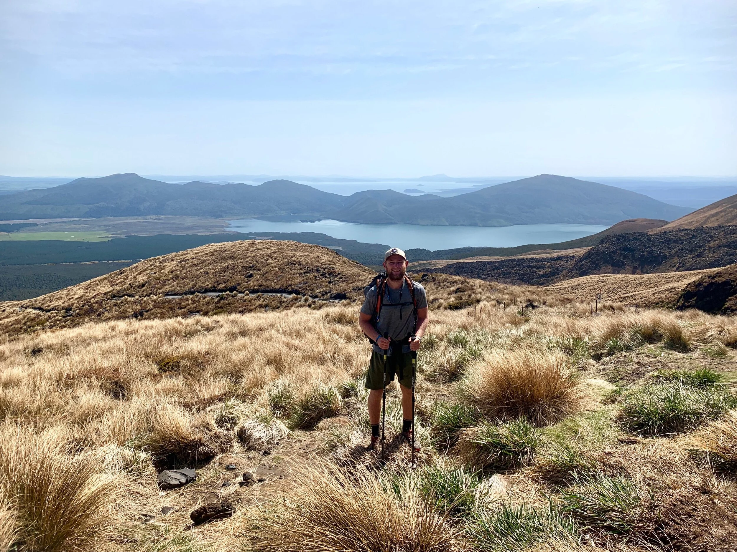
After a few kms the trail left the forest and entered a tussock. This gave us great views of the lakes below, the mountains above and the craters along the sides.
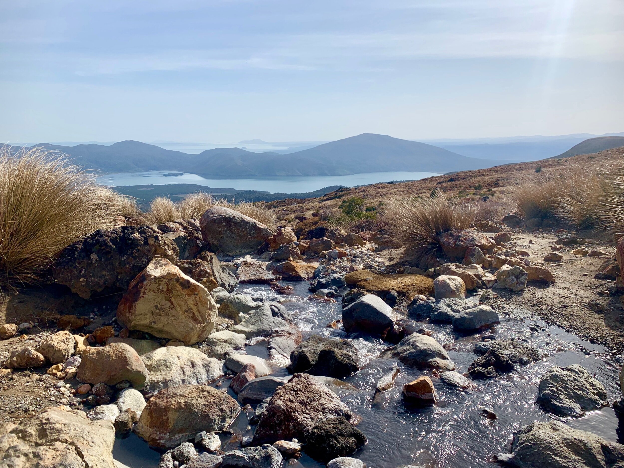
Six kms into the Tongariro crossing we got to what used to be a hut. The 2012 eruption had actually knocked the hut down and the DOC then decided to reroute the trail around potential eruption zones. There were still toilets there and the view made for a good break point.
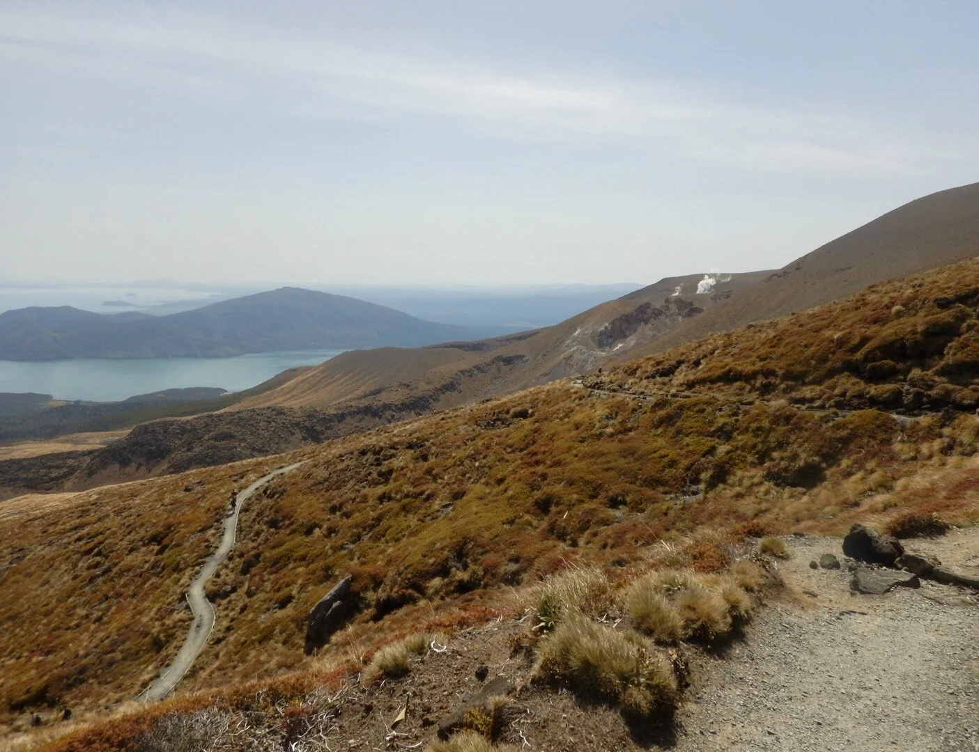
After a quick break we again took off for the summit. From there it was a whole lot of switch backs up to 1850 meters.
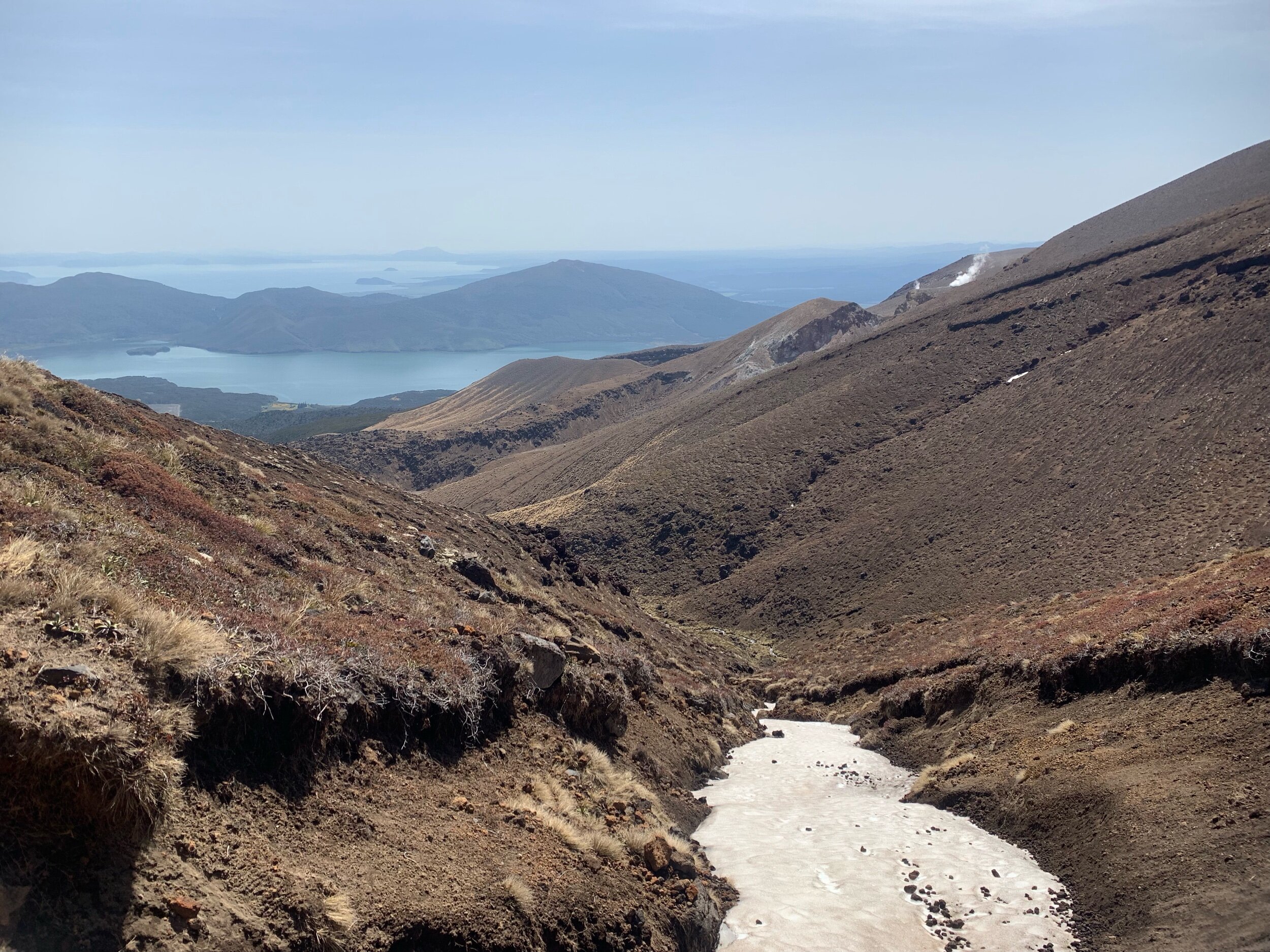
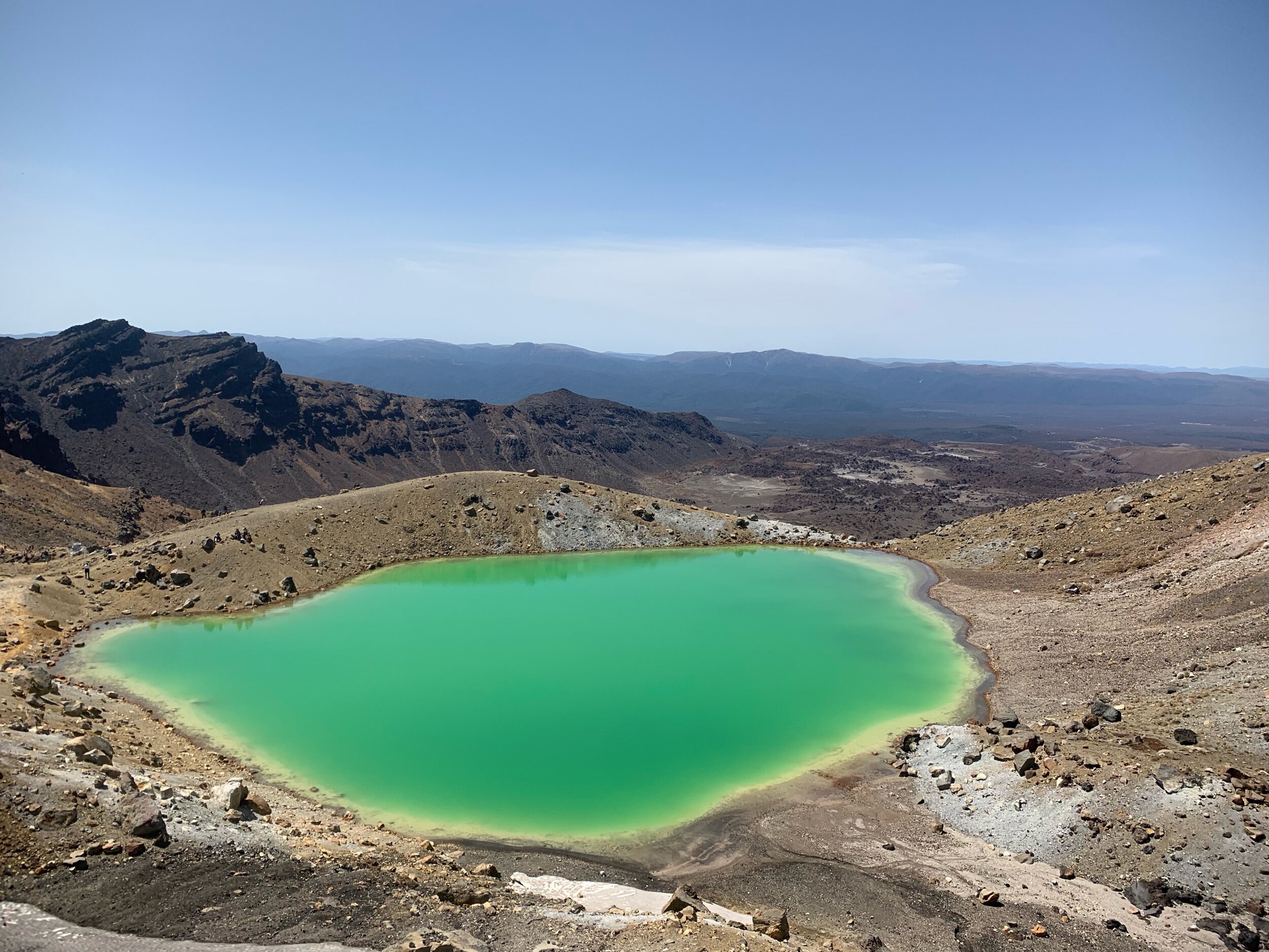
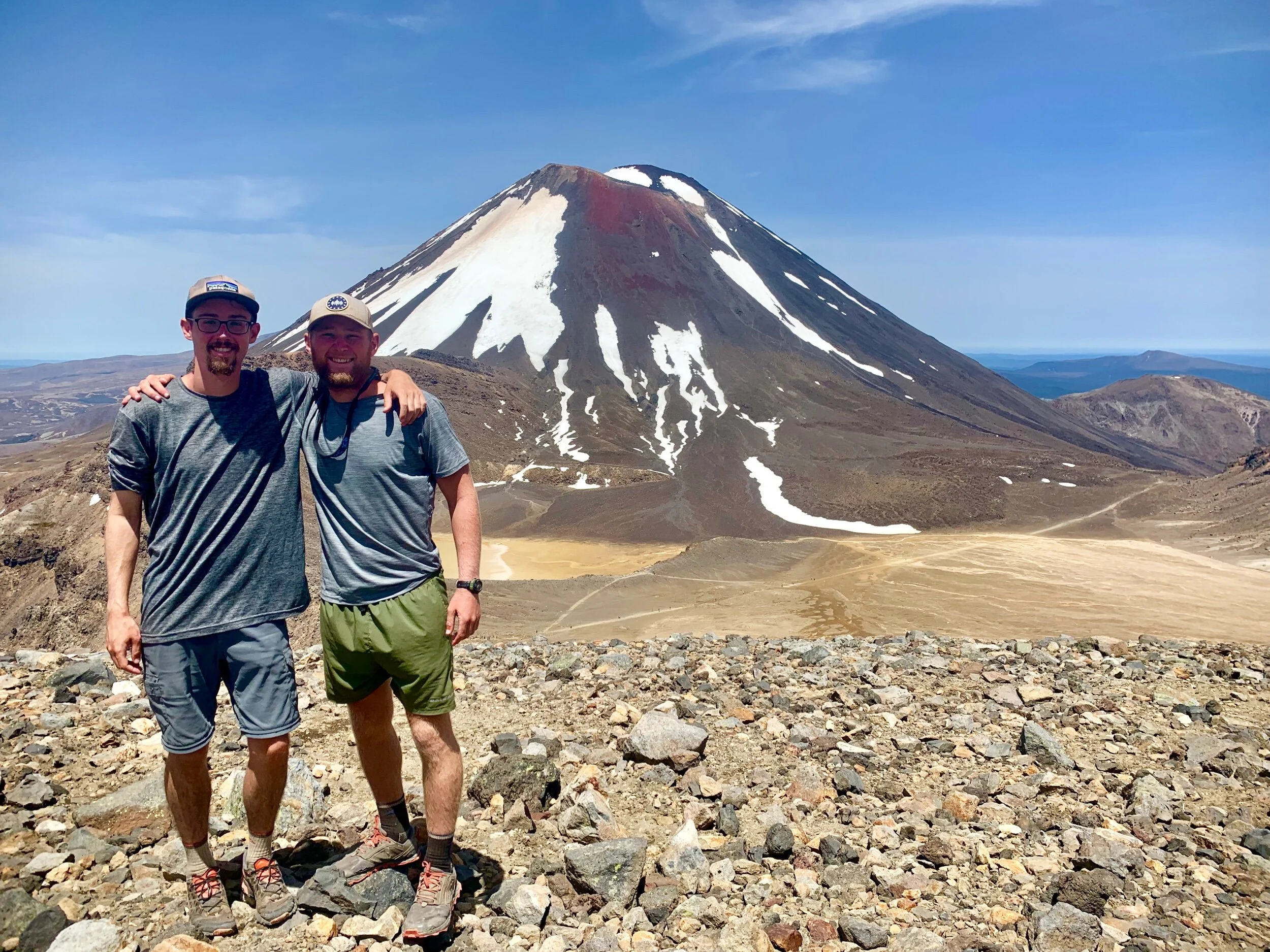
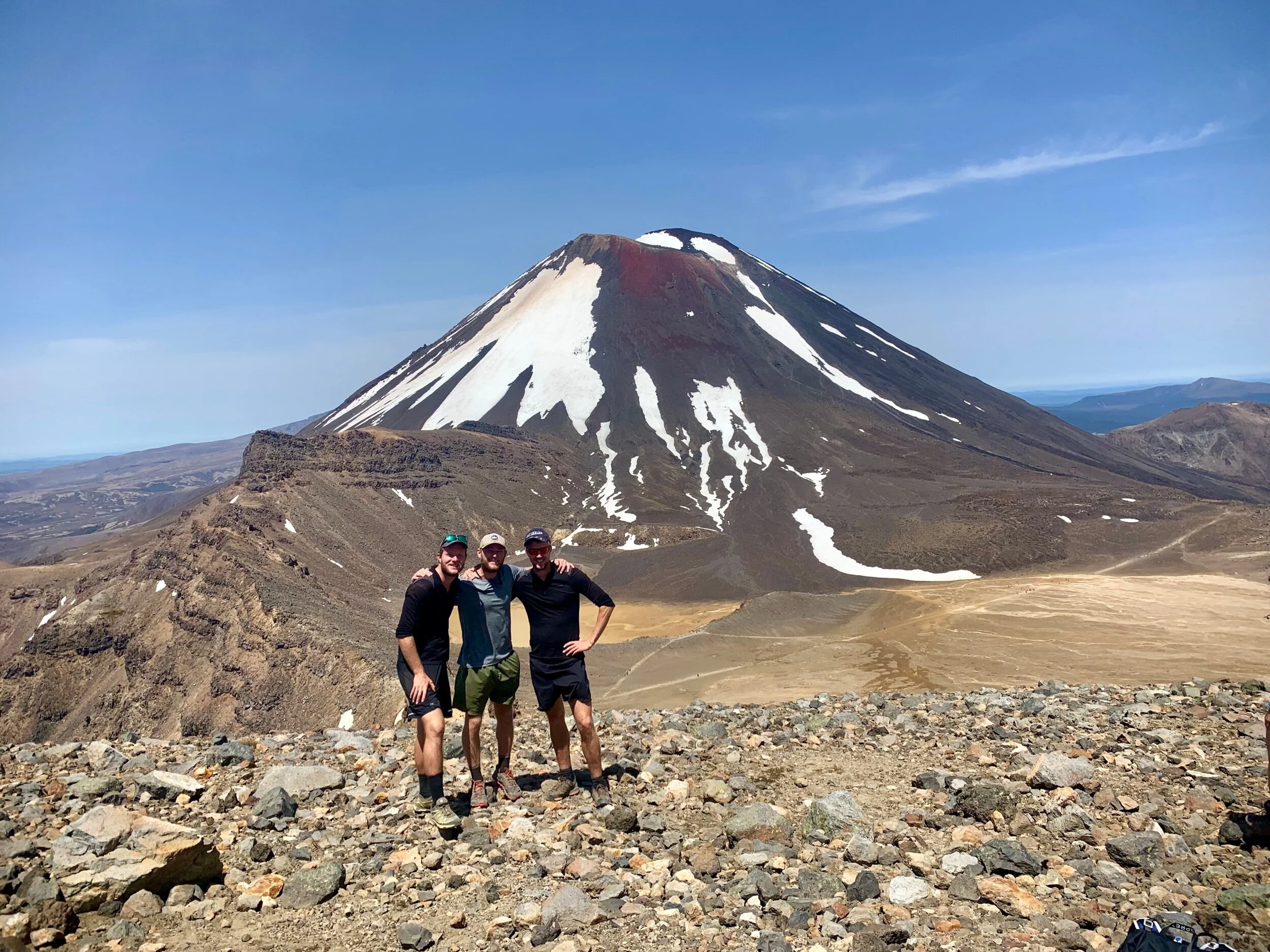
After crossing a couple snowy patches we quickly found ourselves at the top in a crater. The crater had a huge beautiful blue lake on one side and huge snow covered mountains on the other. It was an unreal site.
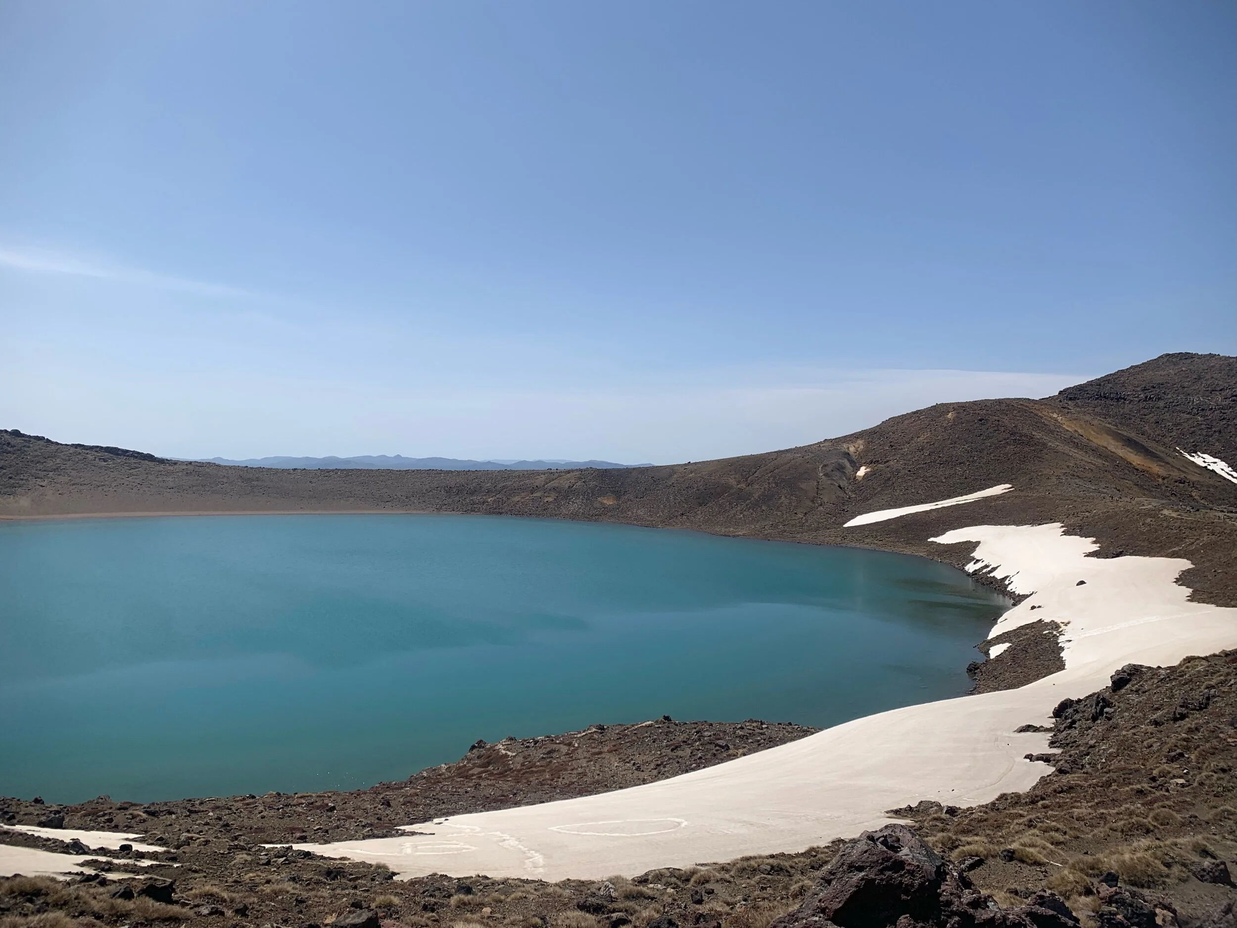
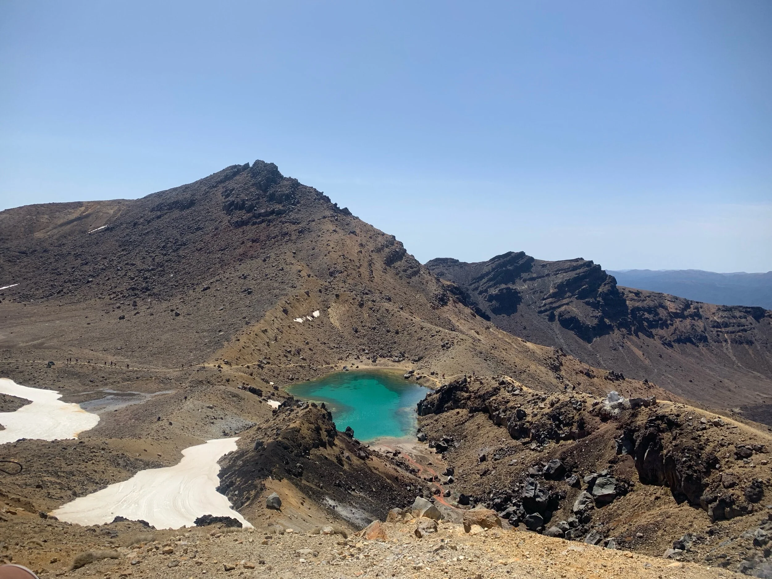
On top of the crater I ran into the German and Swiss women that we have hiked with and ran into multiple times this trip. After catching up quickly I continued on to the emerald lakes. They were amazing but the amount of tourists ruined the view at points. You’re probably thinking to yourself “Alex you’re also a tourist” but it is kinda different. I can’t really describe it but watching people take the easy route up to the top wearing ridiculous outfits and stopping every two seconds for selfies shouldn’t be in the same category as what we’re doing. I’d prefer the term intentional visitors for us.
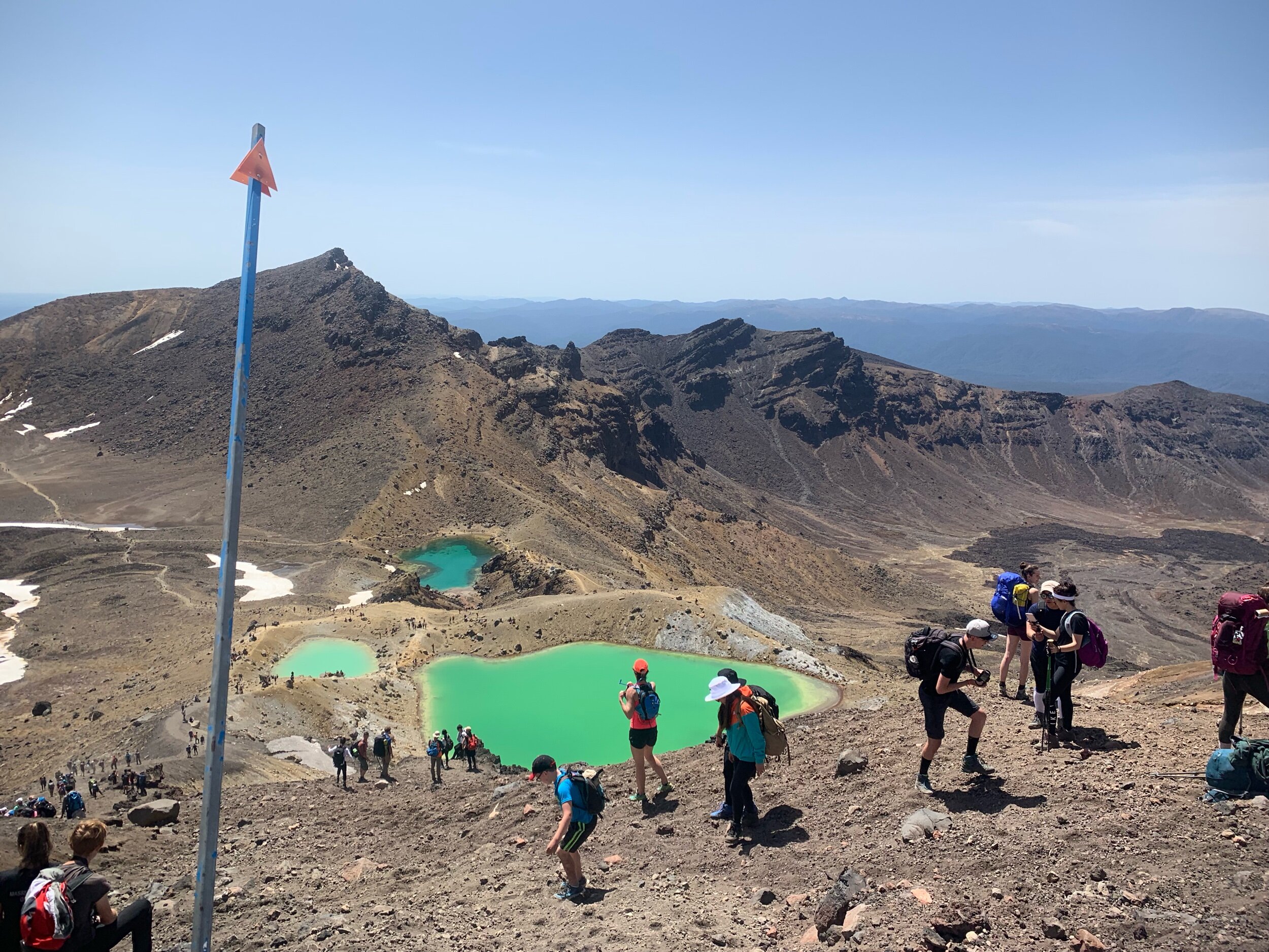
To get to the very top point of the trail we had to climb up a couple hundred meter scree hill. The loose rock and gravel made it extremely hard to get up. Making it even worse was the hoards of people coming in the opposite direction sending small rocks flying at you. Ethan said it was the hardest section of the trip for him.
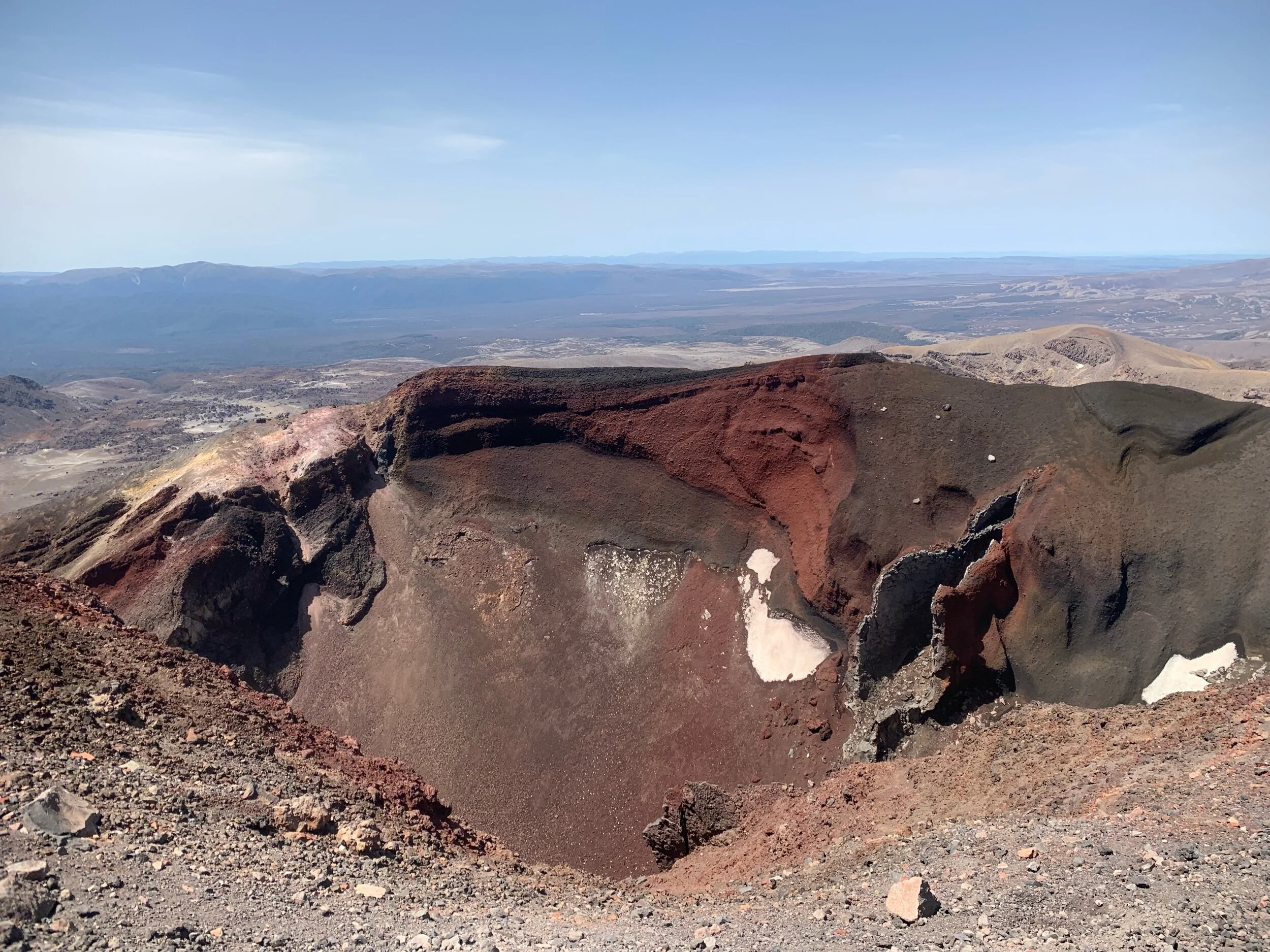
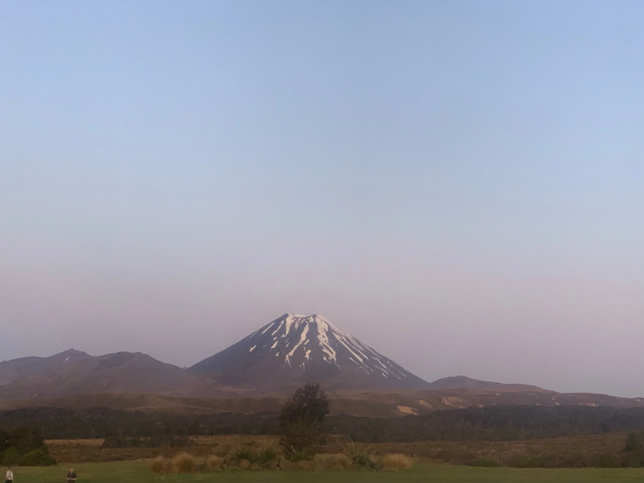
When we got to the top we had a great view of the red crater and Mount Doom. When I got up there I met the Belgians who were eating lunch. They stayed for awhile before leaving while I waited for Ethan to arrive. When Ethan got there we ate lunch and took some pics.
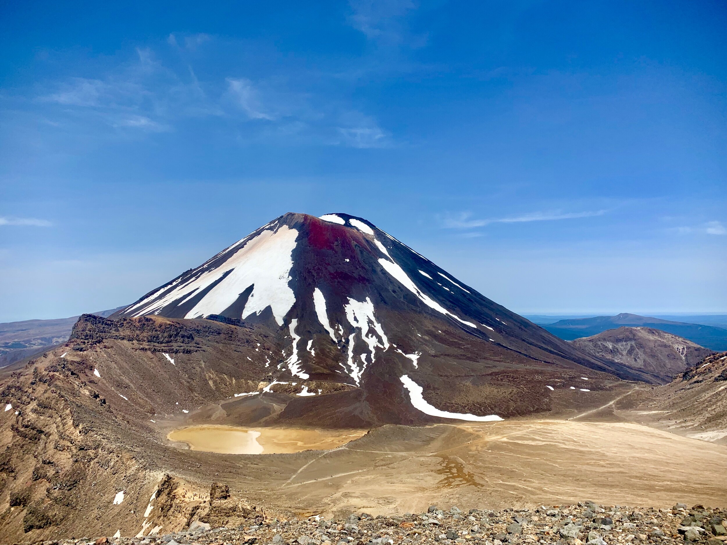
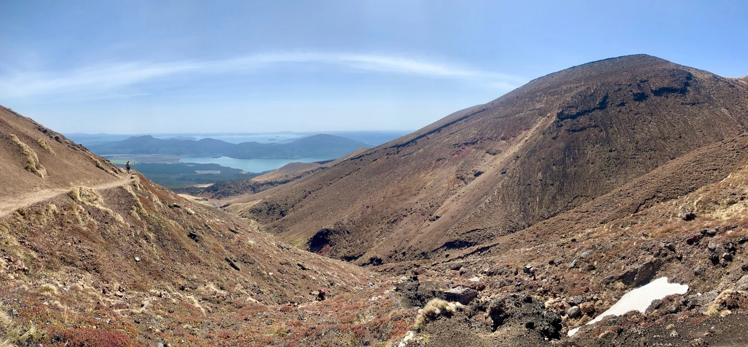
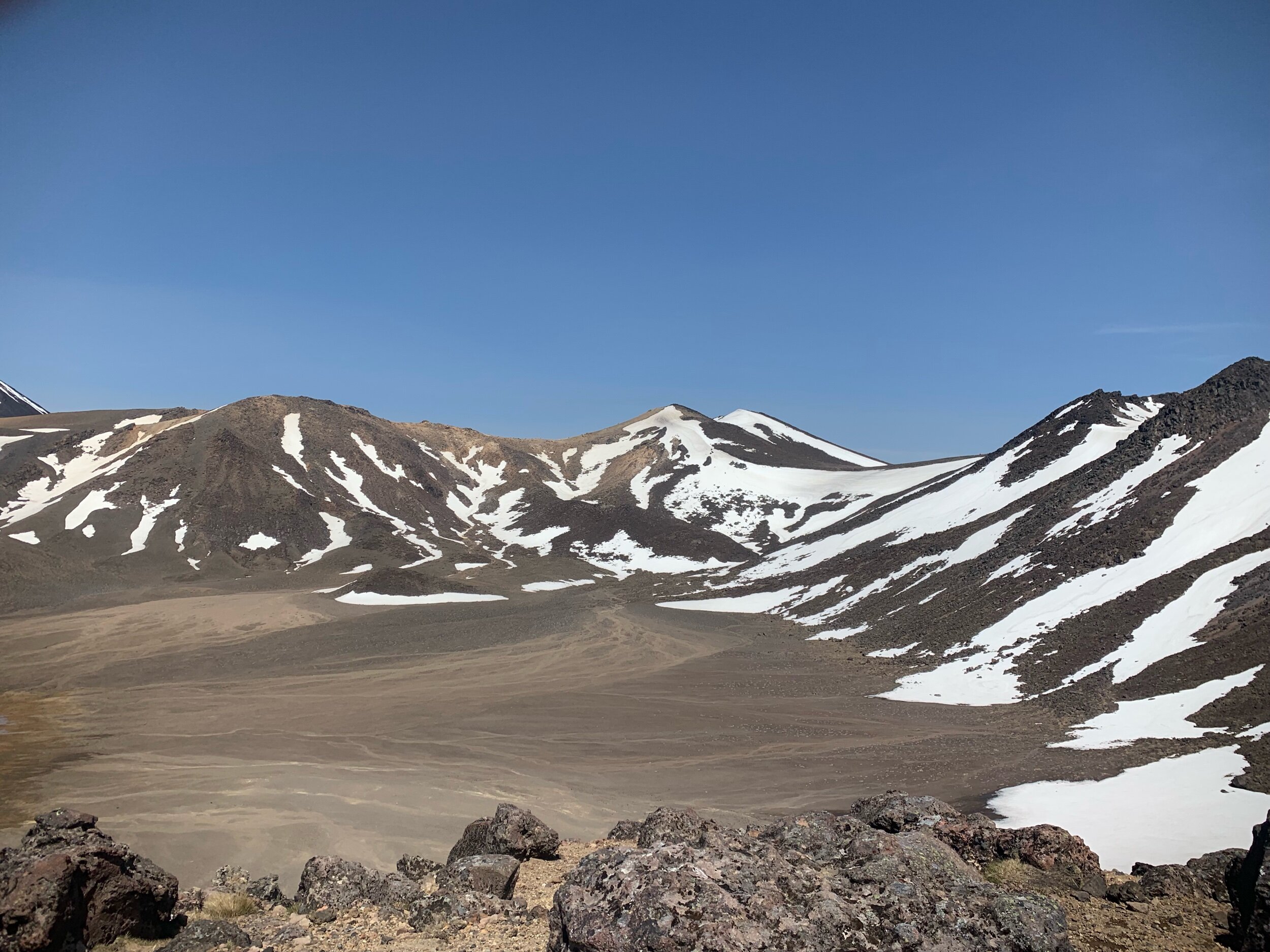
From there we were on the downhill section of the day. As we started we were still passing people on their way to the top. Walking down the scree on the other side was actually super hard. I actually fell once and could have fallen a few more times. Once down the scree we were on the floor of another crater.
Soon the crater gave way to a path down off the far side of the mountain. It still had amazing views of mount doom.
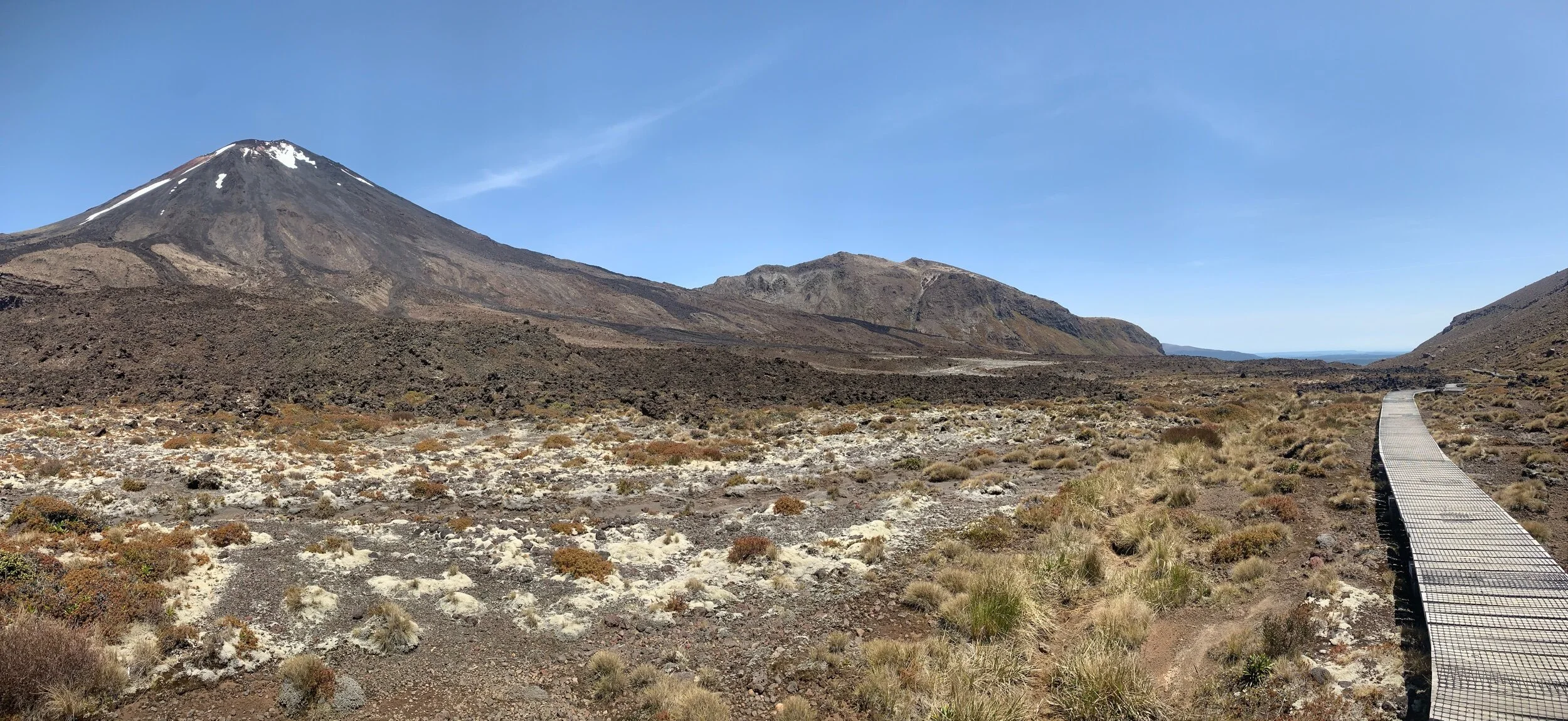
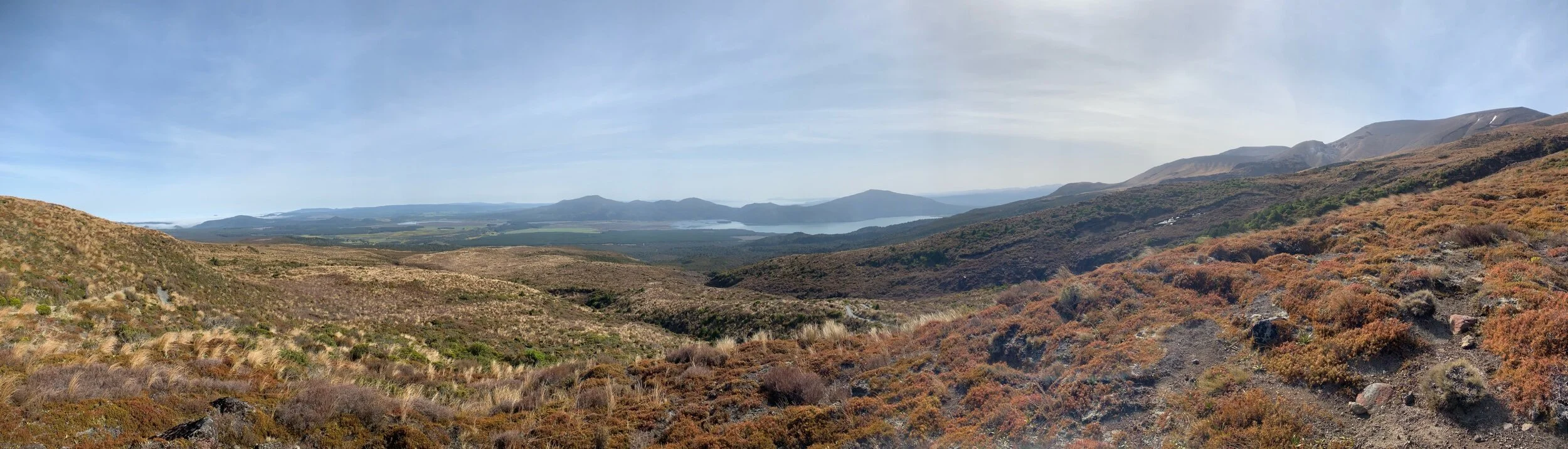
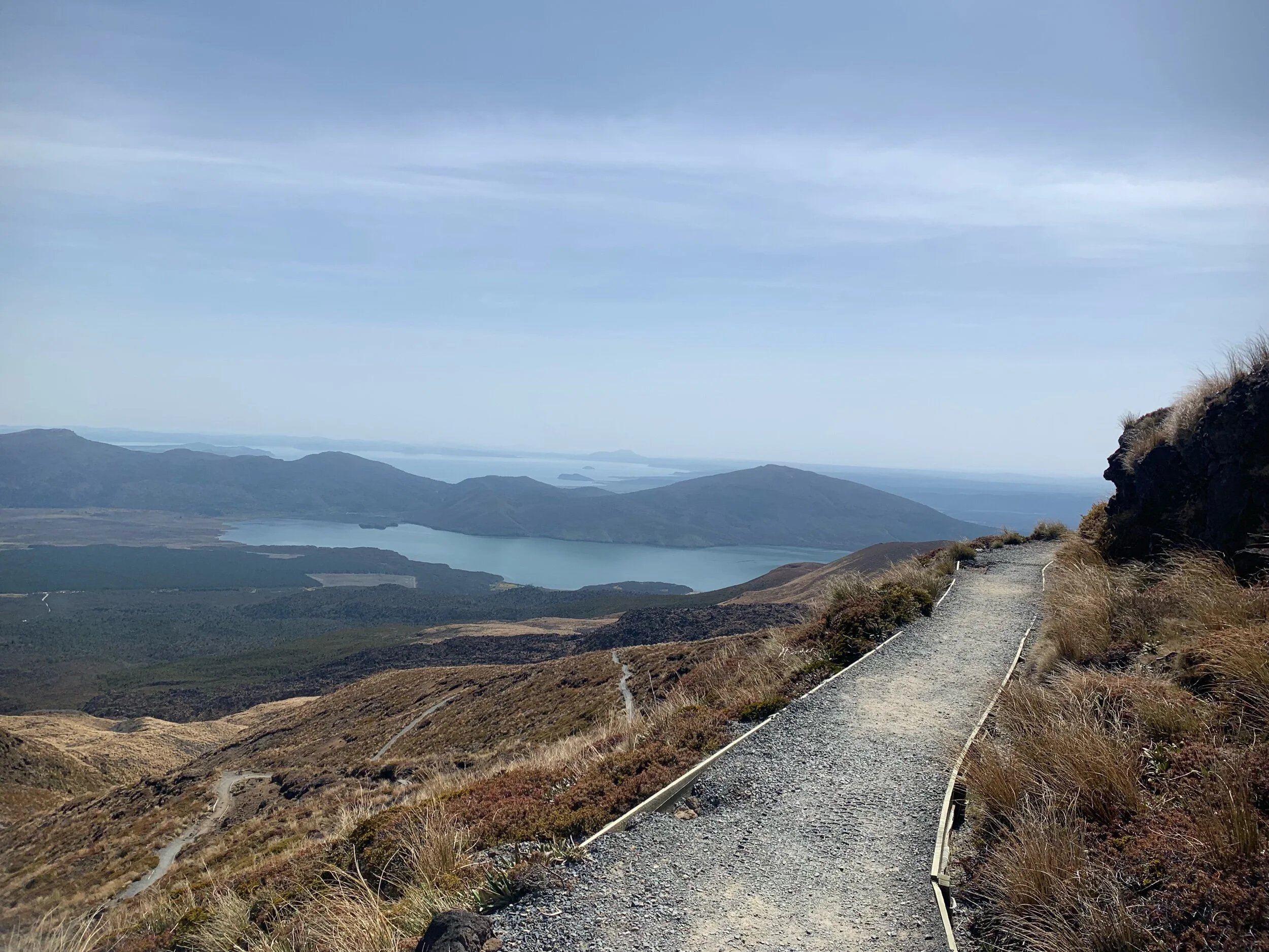
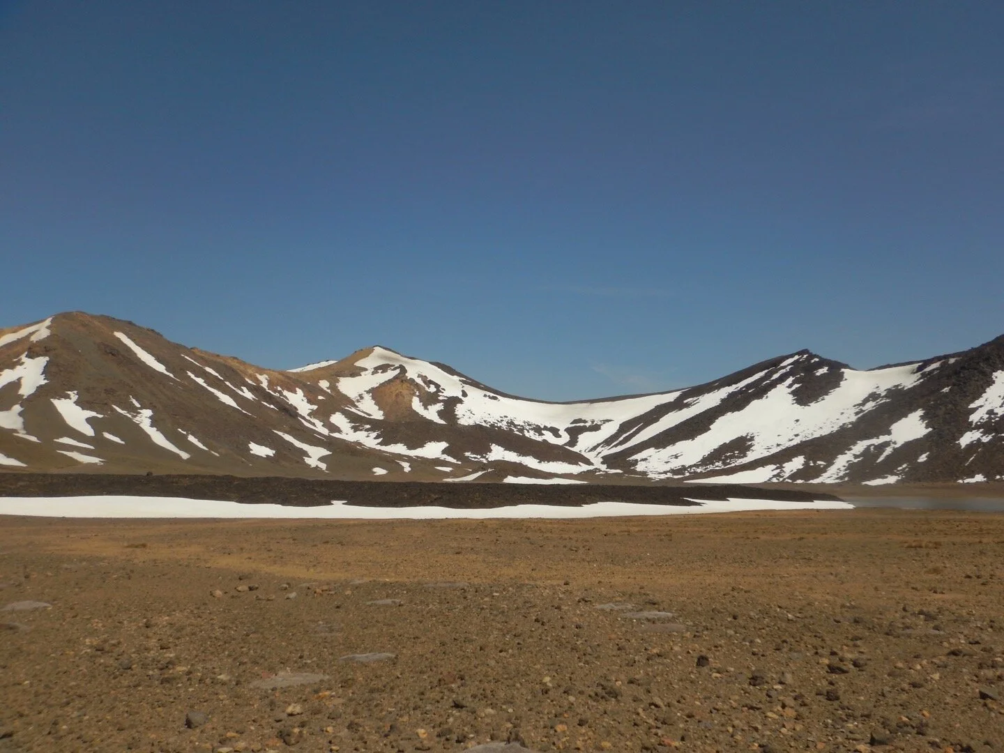
At the end of the trail we turned onto another tussock filled track that would take us to the town we were staying in, Whakapapa. It brought us around the mountain to once again see the snowy mount Raupheau.
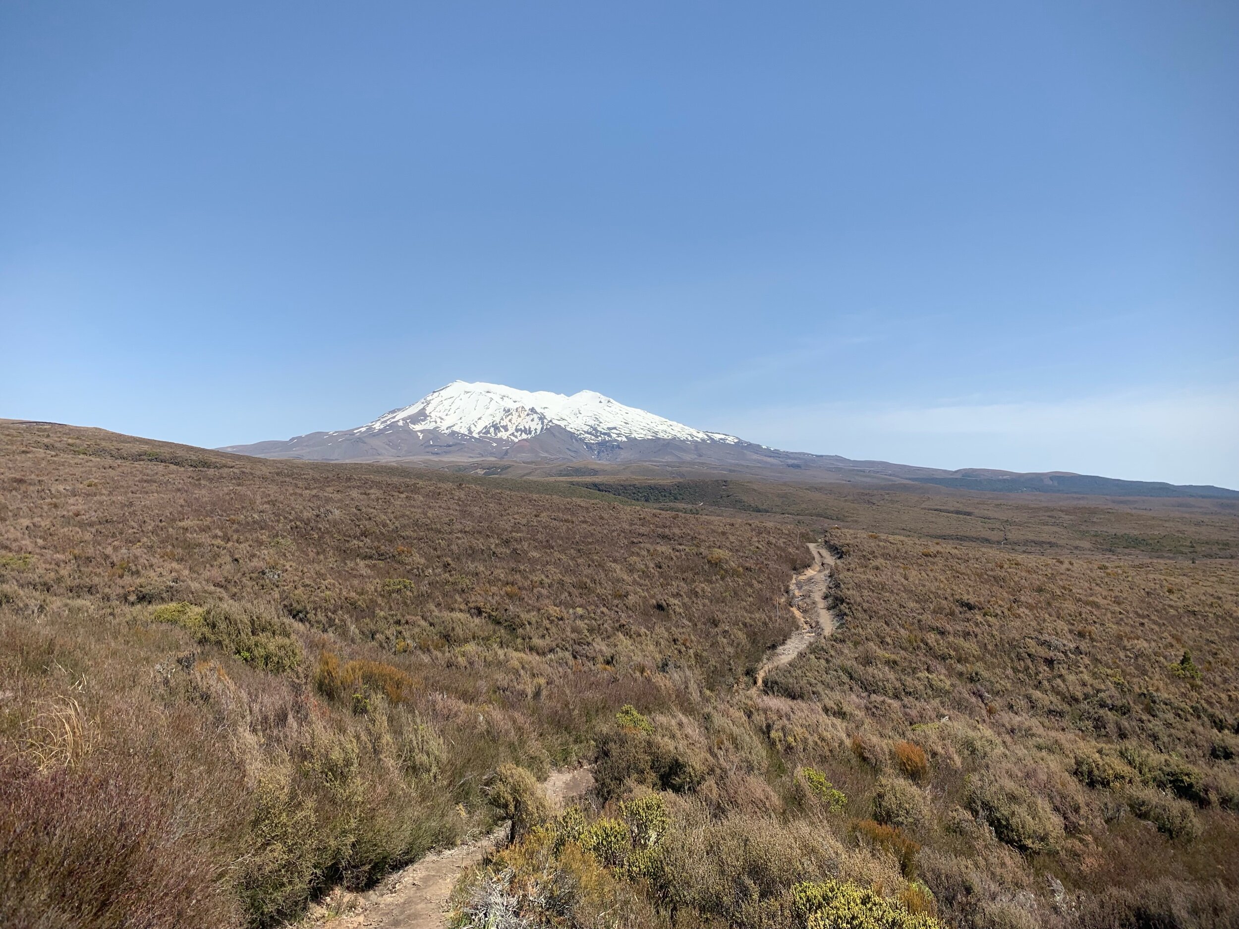
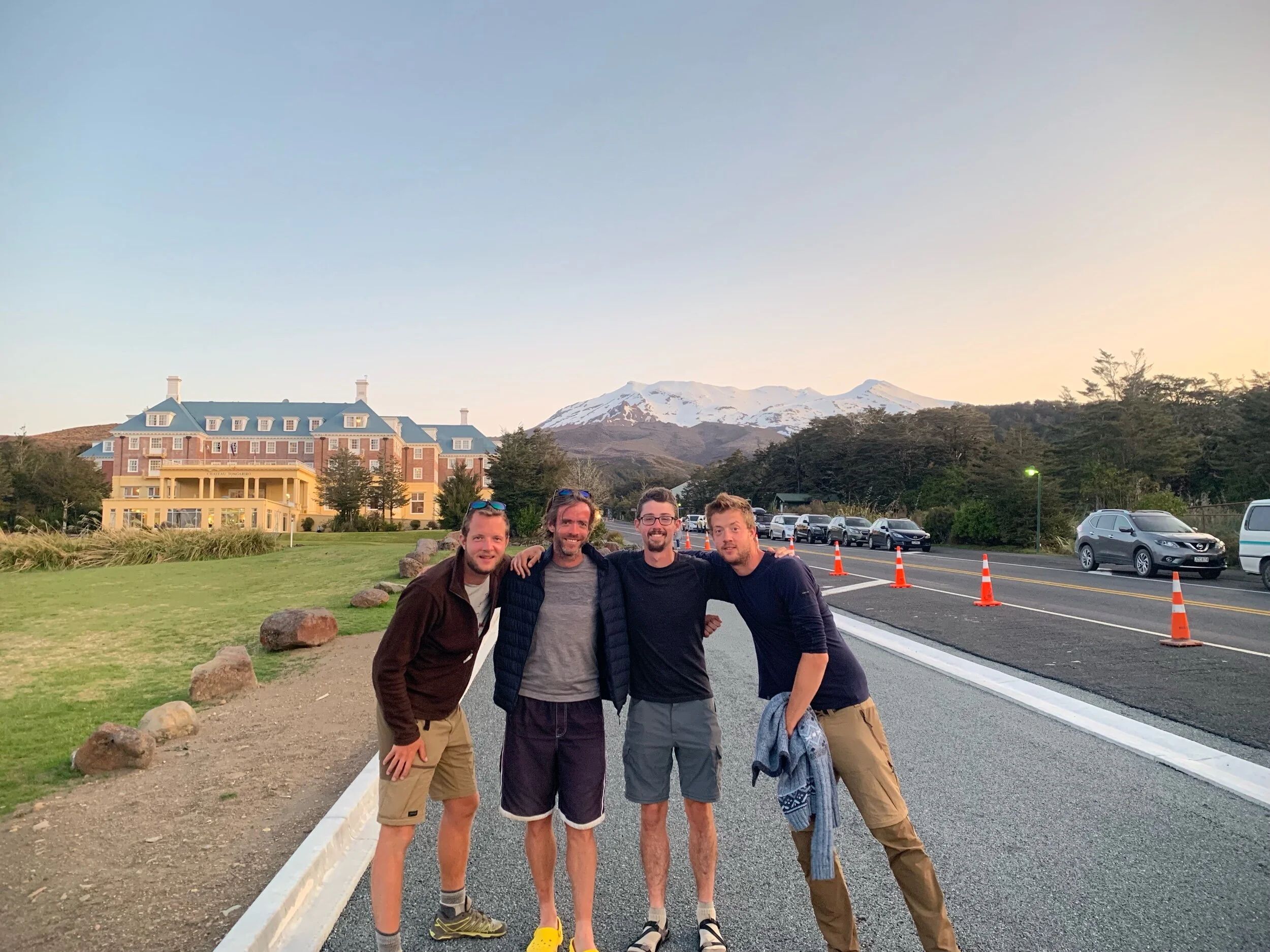
The last 9 kms were mostly through tussock and had a few streams. We arrived in the village of Whakapapa, which only has a super posh hotel, a bar and a holiday park. We checked into a cabin at the holiday park as they were all out of tent sites. After showers and laundry we headed to the bar for dinner. The view from the bar is want that bad.
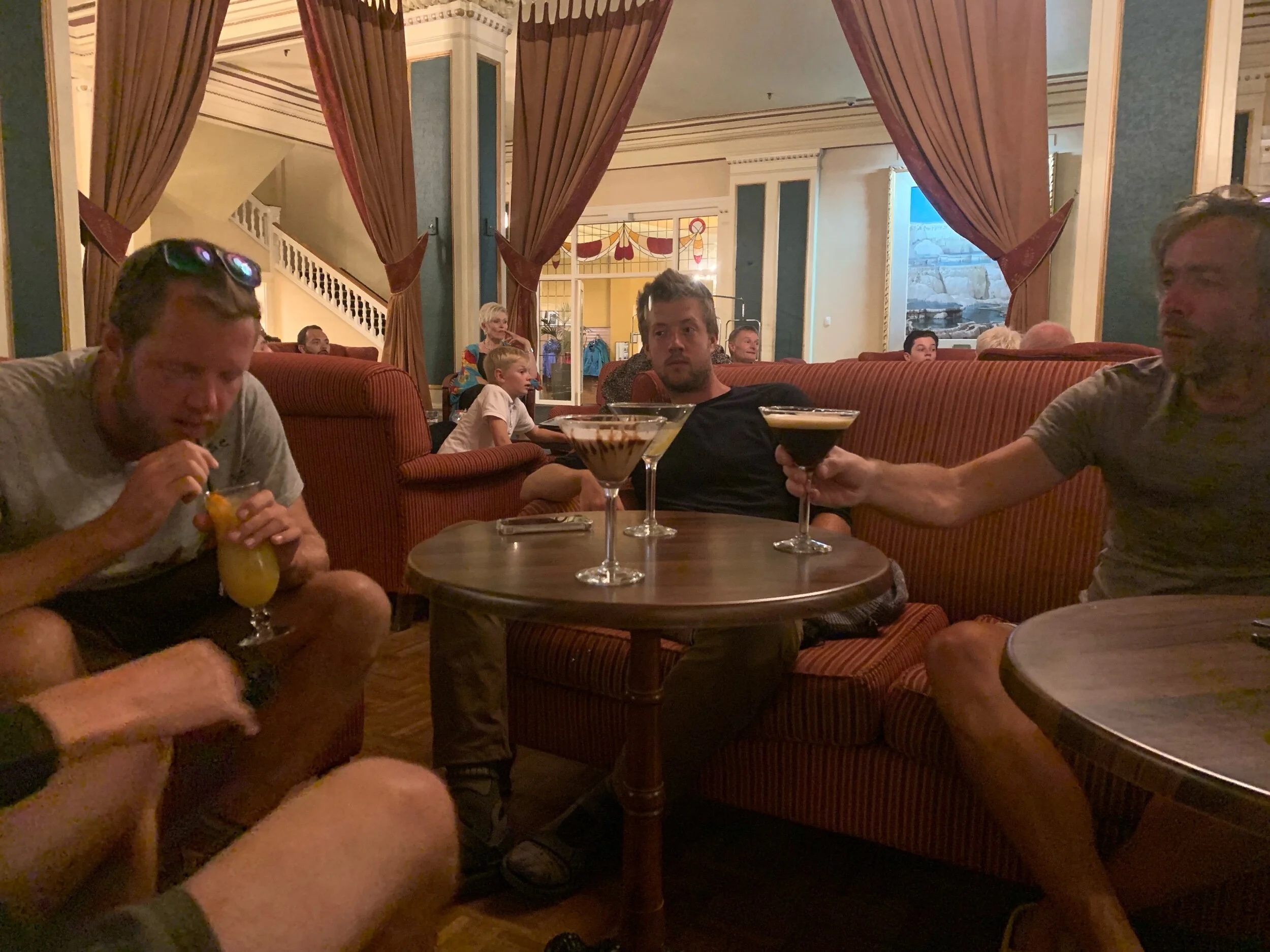
After the bar we decided to push our luck and see if the fancy hotel would let in a bunch of scraggly lookin hikers. They did and we had a round of cocktails. After that it was late we headed back to the cabin for bed.
Also, don’t be alarmed if we don’t post any new blogs for the next week. We expect to lose service tomorrow around lunch time for the next seven days as we head into the deep wilderness to do our canoe trip section.
-Alex